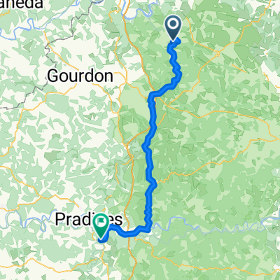
Rocamadour to Beaulieu-sur-Dordogne - V87
- 58.8 km
- 444 m
- 523 m
- Gramat, Occitanie, France
A cycling route starting in Gramat, Occitanie, France.
Overview
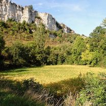
A good training route with 3 quite steep climbs.
created this 14 years ago
Route quality
Quiet road
5.6 km
(54 %)
Road
3.9 km
(38 %)
Undefined
0.8 km
(8 %)
Continue with Bikemap
You would like to ride Boucle autour de Mayrinhac-Lentour or customize it for your own trip? Here is what you can do with this Bikemap route:
Free trial for 3 days, or one-time payment. More about Bikemap Premium.
Discover more Premium features.
Get Bikemap PremiumFrom our community
Open it in the app