
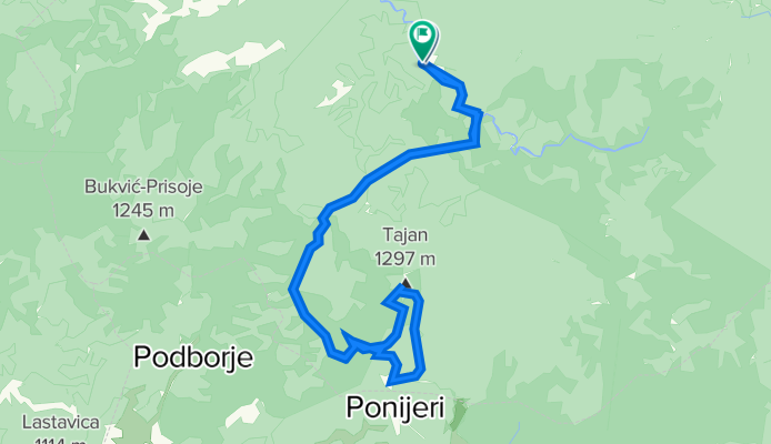
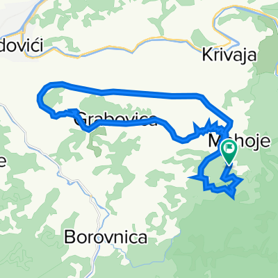
Kamenica-Tajan(Berg)-Kamenica
A cycling route starting in Gostovići, Federation of Bosnia and Herzegovina, Bosnia and Herzegovina.
Overview
About this route
- 9 h 11 min
- Duration
- 39.5 km
- Distance
- 1,443 m
- Ascent
- 1,450 m
- Descent
- 4.3 km/h
- Avg. speed
- 1,281 m
- Max. altitude

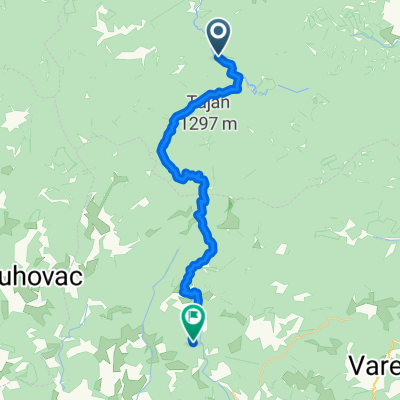
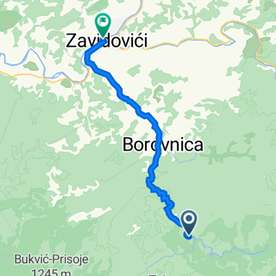
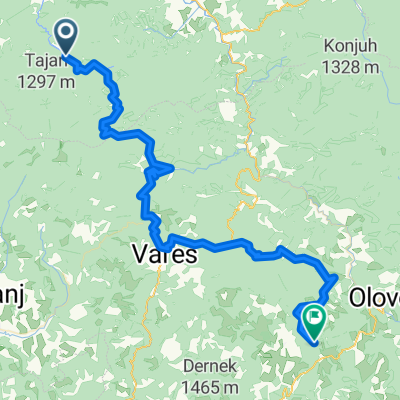
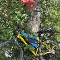
Route photos
-Kamenica\"")
-Kamenica\"")
-Kamenica\"")
-Kamenica\"")
-Kamenica\"")
-Kamenica\"")
Route quality
Waytypes & surfaces along the route
Waytypes
Path
5.5 km
(14 %)
Track
2.4 km
(6 %)
Undefined
31.6 km
(80 %)
Surfaces
Unpaved
31.2 km
(79 %)
Unpaved (undefined)
31.2 km
(79 %)
Undefined
8.3 km
(21 %)
Continue with Bikemap
Use, edit, or download this cycling route
You would like to ride Kamenica-Tajan(Berg)-Kamenica or customize it for your own trip? Here is what you can do with this Bikemap route:
Free features
- Save this route as favorite or in collections
- Copy & plan your own version of this route
- Sync your route with Garmin or Wahoo
Premium features
Free trial for 3 days, or one-time payment. More about Bikemap Premium.
- Navigate this route on iOS & Android
- Export a GPX / KML file of this route
- Create your custom printout (try it for free)
- Download this route for offline navigation
Discover more Premium features.
Get Bikemap PremiumFrom our community
Other popular routes starting in Gostovići
 Kamenica - Suha - Ponijeri - Bočica
- Distance
- 29.8 km
- Ascent
- 1,038 m
- Descent
- 493 m
- Location
- Gostovići, Federation of Bosnia and Herzegovina, Bosnia and Herzegovina
 zavidovici
- Distance
- 18 km
- Ascent
- 22 m
- Descent
- 195 m
- Location
- Gostovići, Federation of Bosnia and Herzegovina, Bosnia and Herzegovina
 Kamenica - Bijambare
- Distance
- 73.4 km
- Ascent
- 1,641 m
- Descent
- 1,076 m
- Location
- Gostovići, Federation of Bosnia and Herzegovina, Bosnia and Herzegovina
 Utrka oko Kleka
- Distance
- 22.4 km
- Ascent
- 1,308 m
- Descent
- 1,308 m
- Location
- Gostovići, Federation of Bosnia and Herzegovina, Bosnia and Herzegovina
 Kamenica-Tajan(Berg)-Kamenica
- Distance
- 39.5 km
- Ascent
- 1,443 m
- Descent
- 1,450 m
- Location
- Gostovići, Federation of Bosnia and Herzegovina, Bosnia and Herzegovina
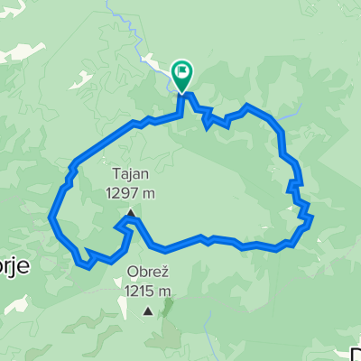 Krug oko Tajana
- Distance
- 34.6 km
- Ascent
- 962 m
- Descent
- 960 m
- Location
- Gostovići, Federation of Bosnia and Herzegovina, Bosnia and Herzegovina
 Kamenica - Priluk - PD Pepelari
- Distance
- 28 km
- Ascent
- 859 m
- Descent
- 495 m
- Location
- Gostovići, Federation of Bosnia and Herzegovina, Bosnia and Herzegovina
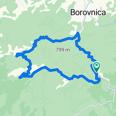 Kamenica - Priluk - Mašica - Kamenica
- Distance
- 22.6 km
- Ascent
- 346 m
- Descent
- 346 m
- Location
- Gostovići, Federation of Bosnia and Herzegovina, Bosnia and Herzegovina
Open it in the app