

Wertheim-rothenburg
- 90.5 km
- 1,737 m
- 1,456 m
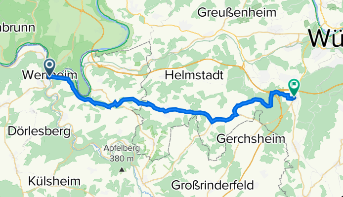
- Wertheim am Main, Baden-Wurttemberg, Germany
A cycling route starting in Wertheim am Main, Baden-Wurttemberg, Germany.
Overview
created this 3 years ago


Route quality
Track
13.1 km
43 %
Road
7.3 km
24 %
Paved
17.4 km
(57 %)
Unpaved
4 km
(13 %)
Asphalt
15.8 km
52 %
Gravel
2.1 km
7 %
Continue with Bikemap
You would like to ride Rechte Tauberstraße 1, Wertheim nach Oskar-Popp-Straße 2, Kist or customize it for your own trip? Here is what you can do with this Bikemap route:
Free trial for 3 days, or one-time payment. More about Bikemap Premium.
Discover more Premium features.
Get Bikemap PremiumFrom our community
Open it in the app


