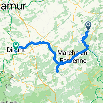
DURBUY Pont, Durbuy to DURBUY Pont, Durbuy
- 73.7 km
- 892 m
- 892 m
- Durbuy, Wallonia, Belgium
A cycling route starting in Durbuy, Wallonia, Belgium.
Overview
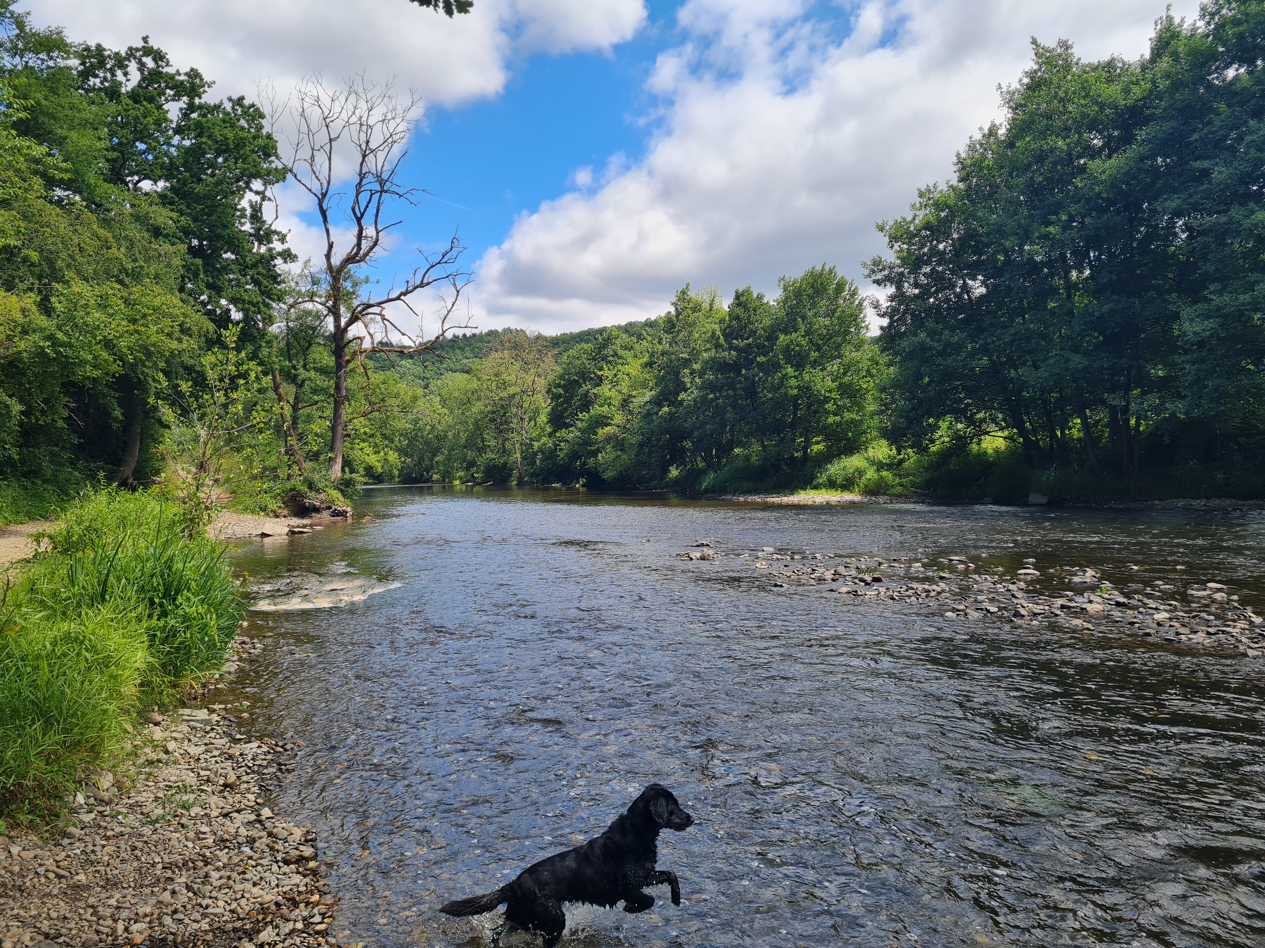
This route stretches over an area between the forest of Petit Han, Barvaux, and Durbuy. It starts in the forest of Petit-Han. This is a forest with a predominantly flat profile with gravel paths and singletracks. Via some climbing and descending work, you come out in Barvaux, followed by a quiet ride along the banks of the Ourthe to Durbuy. (Respect the forest and stay on the main path!) This bike route starts at the hotel 'Sanglier' in Durbuy.
Route quality
Track
12 km
(42 %)
Quiet road
6.9 km
(24 %)
Paved
15.5 km
(54 %)
Unpaved
10.9 km
(38 %)
Asphalt
10.9 km
(38 %)
Gravel
6 km
(21 %)
Continue with Bikemap
You would like to ride VTT Rouge 35km 4 heures SANG or customize it for your own trip? Here is what you can do with this Bikemap route:
Free trial for 3 days, or one-time payment. More about Bikemap Premium.
Discover more Premium features.
Get Bikemap PremiumFrom our community
Open it in the app