

loire valley/day 3
A cycling route starting in Fontevraud-l'Abbaye, Pays de la Loire Region, France.
Overview
About this route
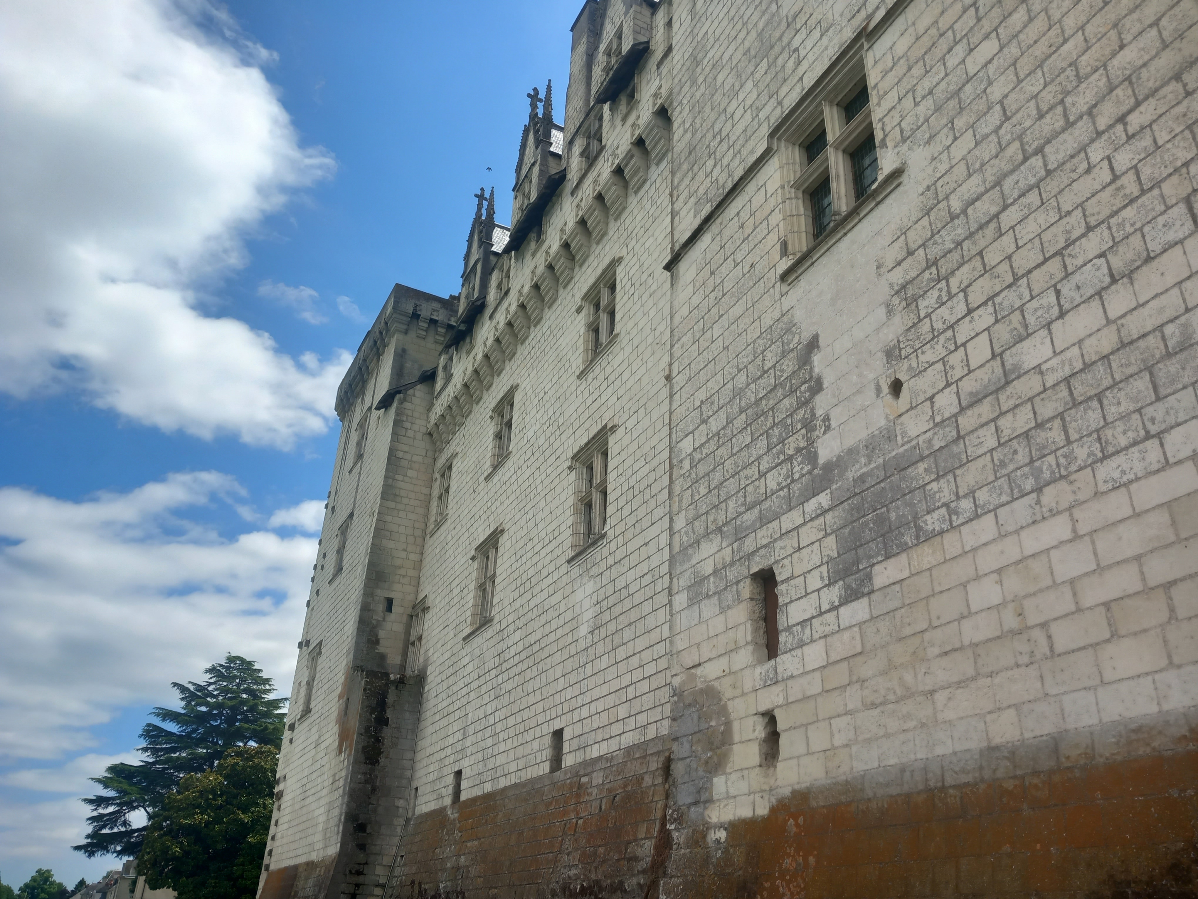
Camping Sauvage Gennes-Val-de-Loire - Maine-et-Loire, France
- -:--
- Duration
- 32.6 km
- Distance
- 282 m
- Ascent
- 270 m
- Descent
- ---
- Avg. speed
- 77 m
- Max. altitude

Route quality
Waytypes & surfaces along the route
Waytypes
Path
8.8 km
(27 %)
Quiet road
5.9 km
(18 %)
Surfaces
Paved
24.8 km
(76 %)
Unpaved
4.2 km
(13 %)
Asphalt
24.1 km
(74 %)
Gravel
3.6 km
(11 %)
Continue with Bikemap
Use, edit, or download this cycling route
You would like to ride loire valley/day 3 or customize it for your own trip? Here is what you can do with this Bikemap route:
Free features
- Save this route as favorite or in collections
- Copy & plan your own version of this route
- Sync your route with Garmin or Wahoo
Premium features
Free trial for 3 days, or one-time payment. More about Bikemap Premium.
- Navigate this route on iOS & Android
- Export a GPX / KML file of this route
- Create your custom printout (try it for free)
- Download this route for offline navigation
Discover more Premium features.
Get Bikemap PremiumFrom our community
Other popular routes starting in Fontevraud-l'Abbaye
 Fontevraud l'Abbaye to Airvault
- Distance
- 51.6 km
- Ascent
- 255 m
- Descent
- 228 m
- Location
- Fontevraud-l'Abbaye, Pays de la Loire Region, France
 loire valley/day 3
- Distance
- 32.6 km
- Ascent
- 282 m
- Descent
- 270 m
- Location
- Fontevraud-l'Abbaye, Pays de la Loire Region, France
 D9 - Saumur
- Distance
- 39.7 km
- Ascent
- 241 m
- Descent
- 246 m
- Location
- Fontevraud-l'Abbaye, Pays de la Loire Region, France
 Tourquant_Samur_Breze_Fontevraud
- Distance
- 48.7 km
- Ascent
- 454 m
- Descent
- 457 m
- Location
- Fontevraud-l'Abbaye, Pays de la Loire Region, France
 5 Couziers - Couziers
- Distance
- 34.3 km
- Ascent
- 272 m
- Descent
- 272 m
- Location
- Fontevraud-l'Abbaye, Pays de la Loire Region, France
 Candes-Saint-Martin Saumur Loop
- Distance
- 47.3 km
- Ascent
- 307 m
- Descent
- 307 m
- Location
- Fontevraud-l'Abbaye, Pays de la Loire Region, France
 De Route de Chinon à Route de Chinon
- Distance
- 53.7 km
- Ascent
- 311 m
- Descent
- 353 m
- Location
- Fontevraud-l'Abbaye, Pays de la Loire Region, France
 9-FONTEVRAUD L'ABBAYE-ANGERS (H.LENA)
- Distance
- 70.3 km
- Ascent
- 118 m
- Descent
- 157 m
- Location
- Fontevraud-l'Abbaye, Pays de la Loire Region, France
Open it in the app