Bayerntour 2009 Etappe 2
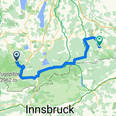
A cycling route starting in Oberammergau, Bavaria, Germany.
Overview
About this route
Oberammergau - Ettal - Oberau - Garmisch-Partenkirchen - Wallgau - Sylvensteinsee - Achenpaß - Wildbad Kreuth - Tegernsee - Schliersee - Josefstal (Schliersee)
- -:--
- Duration
- 111.2 km
- Distance
- 1,084 m
- Ascent
- 1,162 m
- Descent
- ---
- Avg. speed
- 964 m
- Avg. speed
Route quality
Waytypes & surfaces along the route
Waytypes
Busy road
65.6 km
(59 %)
Quiet road
19.5 km
(18 %)
Surfaces
Paved
103.3 km
(93 %)
Unpaved
4.7 km
(4 %)
Asphalt
100.8 km
(91 %)
Gravel
2.1 km
(2 %)
Continue with Bikemap
Use, edit, or download this cycling route
You would like to ride Bayerntour 2009 Etappe 2 or customize it for your own trip? Here is what you can do with this Bikemap route:
Free features
- Save this route as favorite or in collections
- Copy & plan your own version of this route
- Sync your route with Garmin or Wahoo
Premium features
Free trial for 3 days, or one-time payment. More about Bikemap Premium.
- Navigate this route on iOS & Android
- Export a GPX / KML file of this route
- Create your custom printout (try it for free)
- Download this route for offline navigation
Discover more Premium features.
Get Bikemap PremiumFrom our community
Other popular routes starting in Oberammergau
- Ettaler Mandl - Drei-Marken
- Distance
- 42.8 km
- Ascent
- 1,071 m
- Descent
- 1,068 m
- Location
- Oberammergau, Bavaria, Germany
- Ettaler Manndl Bike & Hike
- Distance
- 14.7 km
- Ascent
- 803 m
- Descent
- 803 m
- Location
- Oberammergau, Bavaria, Germany
- Unternogg
- Distance
- 10.6 km
- Ascent
- 69 m
- Descent
- 69 m
- Location
- Oberammergau, Bavaria, Germany
- Ettal - Siller Berg - Großer Aufacker
- Distance
- 39.6 km
- Ascent
- 1,358 m
- Descent
- 1,418 m
- Location
- Oberammergau, Bavaria, Germany
- TAC 2012 Etappe 1: Oberammgergau-Imst
- Distance
- 95.3 km
- Ascent
- 1,619 m
- Descent
- 1,673 m
- Location
- Oberammergau, Bavaria, Germany
- Oberammergauer Höhenrunde
- Distance
- 42 km
- Ascent
- 1,023 m
- Descent
- 1,023 m
- Location
- Oberammergau, Bavaria, Germany
- Ettalermandl Tour
- Distance
- 43.7 km
- Ascent
- 385 m
- Descent
- 382 m
- Location
- Oberammergau, Bavaria, Germany
- Bayerntour 2009 Etappe 2
- Distance
- 111.2 km
- Ascent
- 1,084 m
- Descent
- 1,162 m
- Location
- Oberammergau, Bavaria, Germany