

WasserWeltenSteig - Gesamtstrecke
A cycling route starting in Triberg, Baden-Wurttemberg, Germany.
Overview
About this route
There is hardly anything that fascinates people more than water in its natural environment. Water is a decelerator. Water is a source of power. Water is the elixir of life. The WasserWeltenSteig presents on its 109 kilometers between the climatic spa of Triberg in the Black Forest and the destination in Neuhausen am Rheinfall in the Swiss canton of Schaffhausen, in a total of 6 stages, water in its most diverse forms. The trail cleverly follows the gentle heights along the watershed between the Rhine and the Danube, revealing the water-shaped landscape in the Southern Black Forest Natural Park and the Randen. Along the way, waterfalls crash thunderously into the valley - like at the start at the Triberg Waterfalls and at the end at the majestic Rhine Falls. Then again, streams gently splash by the wayside or joyfully leap over cascades through pristine gorges. Water invites refreshing baths along the way, mysteriously enchants as a quiet bog lake or in wild gorges. / Water is almost omnipresent on the WasserWeltenSteig.
- 39 h 23 min
- Duration
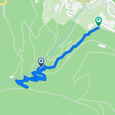
- 109.3 km
- Distance
- 2,810 m
- Ascent
- 3,115 m
- Descent
- 2.8 km/h
- Avg. speed
- 1,148 m
- Max. altitude

Continue with Bikemap
Use, edit, or download this cycling route
You would like to ride WasserWeltenSteig - Gesamtstrecke or customize it for your own trip? Here is what you can do with this Bikemap route:
Free features
- Save this route as favorite or in collections
- Copy & plan your own version of this route
- Split it into stages to create a multi-day tour
- Sync your route with Garmin or Wahoo
Premium features
Free trial for 3 days, or one-time payment. More about Bikemap Premium.
- Navigate this route on iOS & Android
- Export a GPX / KML file of this route
- Create your custom printout (try it for free)
- Download this route for offline navigation
Discover more Premium features.
Get Bikemap PremiumFrom our community
Other popular routes starting in Triberg
 WasserWeltenSteig - Gesamtstrecke
- Distance
- 109.3 km
- Ascent
- 2,810 m
- Descent
- 3,115 m
- Location
- Triberg, Baden-Wurttemberg, Germany
 Schönwälder Straße nach Friedrichstraße 7-11
- Distance
- 1.5 km
- Ascent
- 38 m
- Descent
- 180 m
- Location
- Triberg, Baden-Wurttemberg, Germany
 2_SW_25km
- Distance
- 26.2 km
- Ascent
- 689 m
- Descent
- 689 m
- Location
- Triberg, Baden-Wurttemberg, Germany
 RR Schwa Vog Triberg - Schönau
- Distance
- 121.9 km
- Ascent
- 2,177 m
- Descent
- 2,332 m
- Location
- Triberg, Baden-Wurttemberg, Germany
 X-Bike Schwarzwald Crossing Etappe 3
- Distance
- 112.5 km
- Ascent
- 2,708 m
- Descent
- 2,230 m
- Location
- Triberg, Baden-Wurttemberg, Germany
 Familien Tag
- Distance
- 14.4 km
- Ascent
- 565 m
- Descent
- 594 m
- Location
- Triberg, Baden-Wurttemberg, Germany
 Stralsund
- Distance
- 1,009.6 km
- Ascent
- 1,428 m
- Descent
- 2,241 m
- Location
- Triberg, Baden-Wurttemberg, Germany
 Rundkurs Triberg mit Kandel
- Distance
- 113.4 km
- Ascent
- 1,819 m
- Descent
- 1,819 m
- Location
- Triberg, Baden-Wurttemberg, Germany
Open it in the app