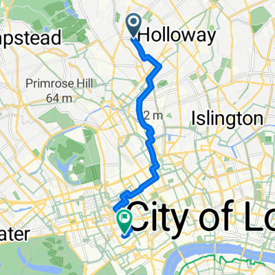
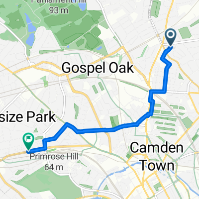
17 Southcote Road, London to 147–159 Adelaide Road, London
- 3.4 km
- 33 m
- 27 m
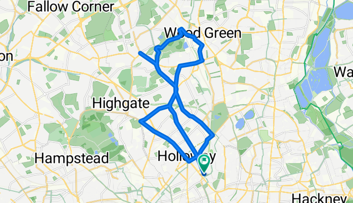
- Holloway, England, United Kingdom
A cycling route starting in Holloway, England, United Kingdom.
Overview
created this 14 years ago
Continue with Bikemap
You would like to ride Holloway hills or customize it for your own trip? Here is what you can do with this Bikemap route:
Free trial for 3 days, or one-time payment. More about Bikemap Premium.
Discover more Premium features.
Get Bikemap PremiumFrom our community
Open it in the app