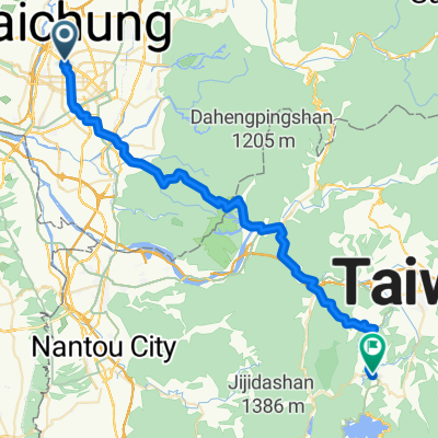
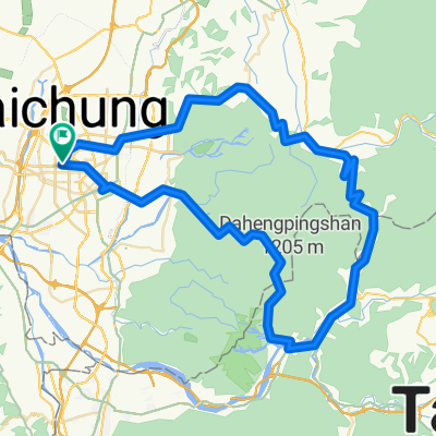
東山路-大雪山
A cycling route starting in Taichung, Taiwan, Taiwan.
Overview
About this route
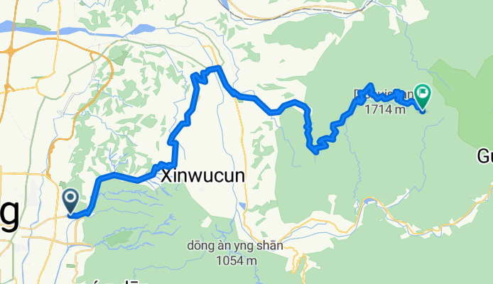
Dongshan Road - Daxueshan
- -:--
- Duration
- 47.1 km
- Distance
- 1,841 m
- Ascent
- 160 m
- Descent
- ---
- Avg. speed
- ---
- Max. altitude
Continue with Bikemap
Use, edit, or download this cycling route
You would like to ride 東山路-大雪山 or customize it for your own trip? Here is what you can do with this Bikemap route:
Free features
- Save this route as favorite or in collections
- Copy & plan your own version of this route
- Sync your route with Garmin or Wahoo
Premium features
Free trial for 3 days, or one-time payment. More about Bikemap Premium.
- Navigate this route on iOS & Android
- Export a GPX / KML file of this route
- Create your custom printout (try it for free)
- Download this route for offline navigation
Discover more Premium features.
Get Bikemap PremiumFrom our community
Other popular routes starting in Taichung
台中縣136- Distance
- 32.3 km
- Ascent
- 1,172 m
- Descent
- 997 m
- Location
- Taichung, Taiwan, Taiwan
天冷+136- Distance
- 99.7 km
- Ascent
- 1,364 m
- Descent
- 1,366 m
- Location
- Taichung, Taiwan, Taiwan
台中-日月潭- Distance
- 157.8 km
- Ascent
- 1,048 m
- Descent
- 1,048 m
- Location
- Taichung, Taiwan, Taiwan
龍寶橋_後壁涼亭- Distance
- 3.7 km
- Ascent
- 334 m
- Descent
- 176 m
- Location
- Taichung, Taiwan, Taiwan
東山路-大雪山- Distance
- 47.1 km
- Ascent
- 1,841 m
- Descent
- 160 m
- Location
- Taichung, Taiwan, Taiwan
台中-日月潭- Distance
- 72.4 km
- Ascent
- 1,089 m
- Descent
- 559 m
- Location
- Taichung, Taiwan, Taiwan
Blue Road- Distance
- 35.9 km
- Ascent
- 310 m
- Descent
- 309 m
- Location
- Taichung, Taiwan, Taiwan
德利路_十四窯坪_大石壁_牛角坑_德利路- Distance
- 10.3 km
- Ascent
- 480 m
- Descent
- 483 m
- Location
- Taichung, Taiwan, Taiwan
Open it in the app

