

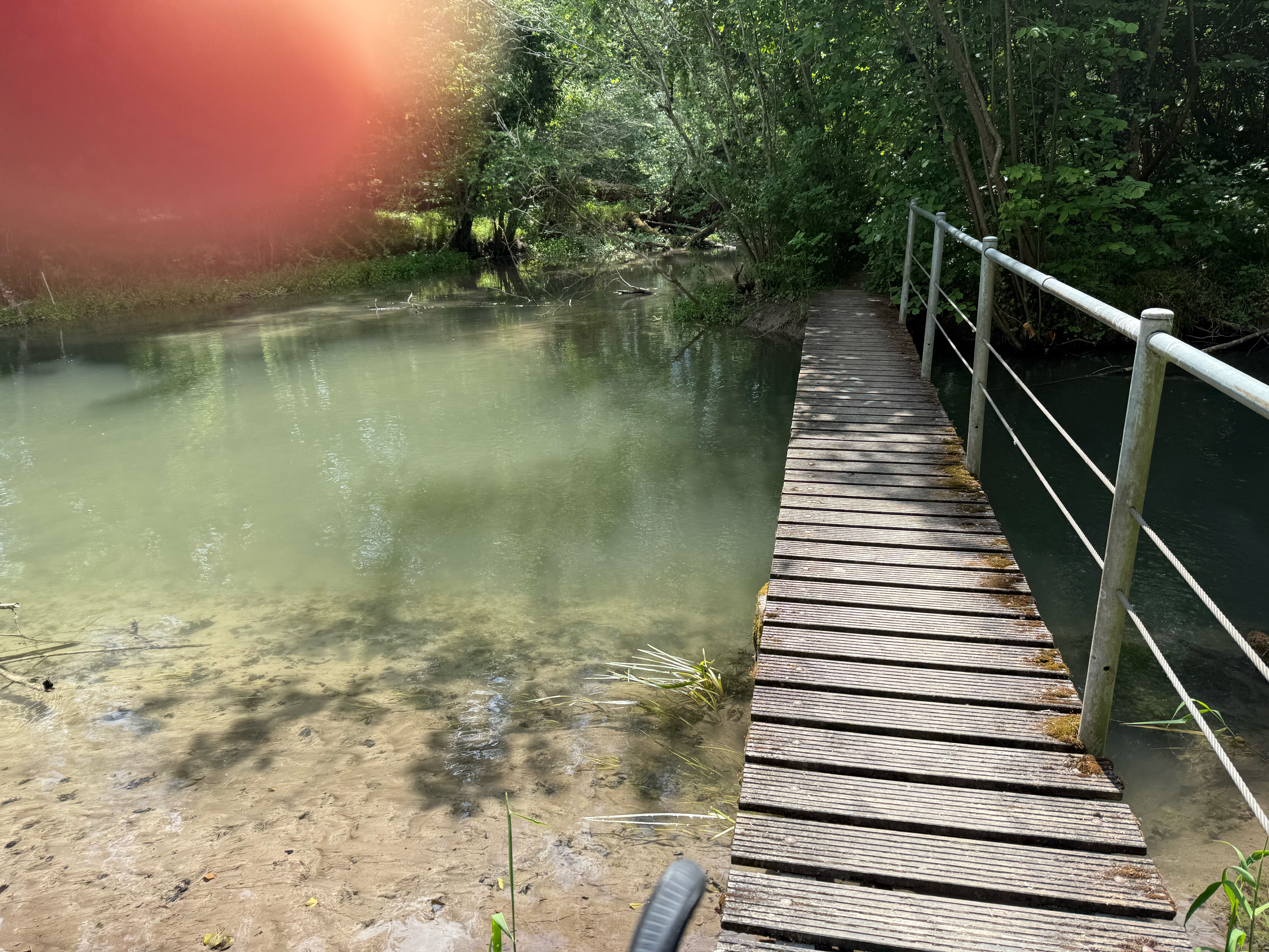
Limburg Parkplatz - Hohkönigsburg
A cycling route starting in Marckolsheim, Grand Est, France.
Overview
About this route
- -:--
- Duration
- 71.2 km
- Distance
- 695 m
- Ascent
- 698 m
- Descent
- ---
- Avg. speed
- 714 m
- Max. altitude

Route quality
Waytypes & surfaces along the route
Waytypes
Quiet road
10.7 km
(15 %)
Cycleway
8.5 km
(12 %)
Surfaces
Paved
33.5 km
(47 %)
Unpaved
0.7 km
(1 %)
Asphalt
29.2 km
(41 %)
Paved (undefined)
4.3 km
(6 %)
Continue with Bikemap
Use, edit, or download this cycling route
You would like to ride Limburg Parkplatz - Hohkönigsburg or customize it for your own trip? Here is what you can do with this Bikemap route:
Free features
- Save this route as favorite or in collections
- Copy & plan your own version of this route
- Sync your route with Garmin or Wahoo
Premium features
Free trial for 3 days, or one-time payment. More about Bikemap Premium.
- Navigate this route on iOS & Android
- Export a GPX / KML file of this route
- Create your custom printout (try it for free)
- Download this route for offline navigation
Discover more Premium features.
Get Bikemap PremiumFrom our community
Other popular routes starting in Marckolsheim
 Marckolsheim voie vert Tulla
- Distance
- 23.4 km
- Ascent
- 10 m
- Descent
- 9 m
- Location
- Marckolsheim, Grand Est, France
 Faire Son Marché À Bicyclette...
- Distance
- 8.5 km
- Ascent
- 8 m
- Descent
- 8 m
- Location
- Marckolsheim, Grand Est, France
 16 Route d'Artzenheim, Marckolsheim à 20 Rue de la 1ère Armée, Fessenheim
- Distance
- 33.6 km
- Ascent
- 434 m
- Descent
- 405 m
- Location
- Marckolsheim, Grand Est, France
 Rhine Cycle Route
- Distance
- 161.9 km
- Ascent
- 35 m
- Descent
- 93 m
- Location
- Marckolsheim, Grand Est, France
 98 Rue de la Deuxième Division Blindée, Ohnenheim to Place d'Unterlinden, Colmar
- Distance
- 28 km
- Ascent
- 62 m
- Descent
- 44 m
- Location
- Marckolsheim, Grand Est, France
 Marckolsheim - Saverne km 315,29 - 415,46
- Distance
- 100.2 km
- Ascent
- 83 m
- Descent
- 76 m
- Location
- Marckolsheim, Grand Est, France
 De Rue de Saint-Cyprien 25, Mackenheim à Rue de Saint-Cyprien 25, Mackenheim
- Distance
- 20 km
- Ascent
- 27 m
- Descent
- 84 m
- Location
- Marckolsheim, Grand Est, France
 Limburg Parkplatz - Hohkönigsburg
- Distance
- 71.2 km
- Ascent
- 695 m
- Descent
- 698 m
- Location
- Marckolsheim, Grand Est, France
Open it in the app