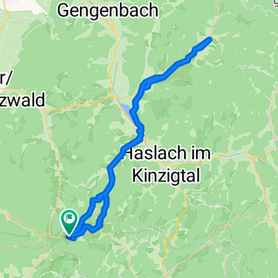
Weg zur Downhillstrecke von Welschensteinach aus
- 0.8 km
- 157 m
- 0 m
- Schuttertal, Baden-Wurttemberg, Germany
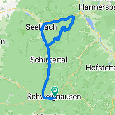
A cycling route starting in Schuttertal, Baden-Wurttemberg, Germany.
Overview
created this 3 years ago
Route quality
Quiet road
17.2 km
(40 %)
Path
6 km
(14 %)
Paved
38.8 km
(90 %)
Asphalt
37.9 km
(88 %)
Paved (undefined)
0.9 km
(2 %)
Undefined
4.3 km
(10 %)
Continue with Bikemap
You would like to ride Im Wolfersbach - Schweighausen - Steinach - Biberach - Seelbach or customize it for your own trip? Here is what you can do with this Bikemap route:
Free trial for 3 days, or one-time payment. More about Bikemap Premium.
Discover more Premium features.
Get Bikemap PremiumFrom our community
Open it in the app