

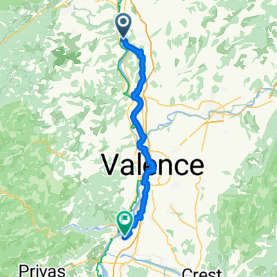
4 Saint Villar - Baix
A cycling route starting in Saint-Vallier, Auvergne-Rhône-Alpes, France.
Overview
About this route
- -:--
- Duration
- 80.6 km
- Distance
- 230 m
- Ascent
- 270 m
- Descent
- ---
- Avg. speed
- 138 m
- Max. altitude

Route quality
Waytypes & surfaces along the route
Waytypes
Cycleway
33.9 km
(42 %)
Quiet road
20.2 km
(25 %)
Surfaces
Paved
43.5 km
(54 %)
Unpaved
3.2 km
(4 %)
Asphalt
41.9 km
(52 %)
Concrete
1.6 km
(2 %)
Continue with Bikemap
Use, edit, or download this cycling route
You would like to ride 4 Saint Villar - Baix or customize it for your own trip? Here is what you can do with this Bikemap route:
Free features
- Save this route as favorite or in collections
- Copy & plan your own version of this route
- Split it into stages to create a multi-day tour
- Sync your route with Garmin or Wahoo
Premium features
Free trial for 3 days, or one-time payment. More about Bikemap Premium.
- Navigate this route on iOS & Android
- Export a GPX / KML file of this route
- Create your custom printout (try it for free)
- Download this route for offline navigation
Discover more Premium features.
Get Bikemap PremiumFrom our community
Other popular routes starting in Saint-Vallier
 Recovered Route
- Distance
- 15.4 km
- Ascent
- 28 m
- Descent
- 28 m
- Location
- Saint-Vallier, Auvergne-Rhône-Alpes, France
 Saint-Vallier - Beauchastel
- Distance
- 58 km
- Ascent
- 139 m
- Descent
- 181 m
- Location
- Saint-Vallier, Auvergne-Rhône-Alpes, France
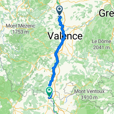 Saint-Vallier - Orange
- Distance
- 140.7 km
- Ascent
- 466 m
- Descent
- 558 m
- Location
- Saint-Vallier, Auvergne-Rhône-Alpes, France
 Pilat 08/04/2012
- Distance
- 148.1 km
- Ascent
- 1,180 m
- Descent
- 1,178 m
- Location
- Saint-Vallier, Auvergne-Rhône-Alpes, France
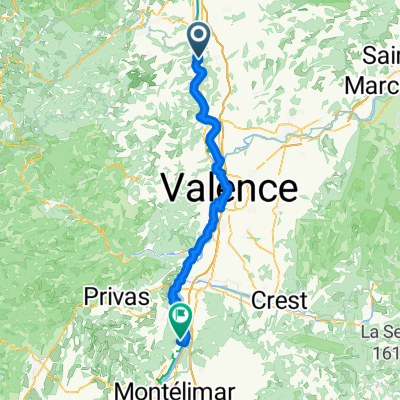 St vallier à Cruas
- Distance
- 86.1 km
- Ascent
- 332 m
- Descent
- 385 m
- Location
- Saint-Vallier, Auvergne-Rhône-Alpes, France
 Tour de France 2016 dzień 17
- Distance
- 91.8 km
- Ascent
- 1,134 m
- Descent
- 983 m
- Location
- Saint-Vallier, Auvergne-Rhône-Alpes, France
 l'Ardèche fleurie
- Distance
- 113 km
- Ascent
- 1,511 m
- Descent
- 1,529 m
- Location
- Saint-Vallier, Auvergne-Rhône-Alpes, France
 Saint-Vallier - Alès - juillet 2024
- Distance
- 530.8 km
- Ascent
- 21,756 m
- Descent
- 21,762 m
- Location
- Saint-Vallier, Auvergne-Rhône-Alpes, France
Open it in the app