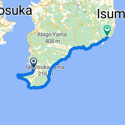
Boso S3: Chikura - Hatake - Shirahama
- 11.2 km
- 247 m
- 245 m
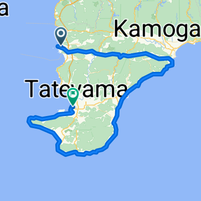
- Tateyama, Chiba, Japan
A cycling route starting in Tateyama, Chiba, Japan.
Overview
RwGPS 63.5km +1,228m/-1,226m
Download map from Minami Boso Cycle Tourism Association
created this 3 years ago
Continue with Bikemap
You would like to ride 南房総花海街道 little monster or customize it for your own trip? Here is what you can do with this Bikemap route:
Free trial for 3 days, or one-time payment. More about Bikemap Premium.
Discover more Premium features.
Get Bikemap PremiumFrom our community
Open it in the app