

Topiros - Feres
A cycling route starting in Petrochóri, East Macedonia and Thrace, Greece.
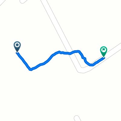
Overview
About this route
- -:--
- Duration
- 161.9 km
- Distance
- 700 m
- Ascent
- 735 m
- Descent
- ---
- Avg. speed
- ---
- Max. altitude

Continue with Bikemap
Use, edit, or download this cycling route
You would like to ride Topiros - Feres or customize it for your own trip? Here is what you can do with this Bikemap route:
Free features
- Save this route as favorite or in collections
- Copy & plan your own version of this route
- Split it into stages to create a multi-day tour
- Sync your route with Garmin or Wahoo
Premium features
Free trial for 3 days, or one-time payment. More about Bikemap Premium.
- Navigate this route on iOS & Android
- Export a GPX / KML file of this route
- Create your custom printout (try it for free)
- Download this route for offline navigation
Discover more Premium features.
Get Bikemap PremiumFrom our community
Other popular routes starting in Petrochóri
 Thurs day 3 ( hard route )
- Distance
- 115.7 km
- Ascent
- 3,323 m
- Descent
- 3,123 m
- Location
- Petrochóri, East Macedonia and Thrace, Greece
 Greece Mammuth
- Distance
- 130.6 km
- Ascent
- 2,953 m
- Descent
- 2,953 m
- Location
- Petrochóri, East Macedonia and Thrace, Greece
 Εθνική Οδός Καβάλας Ξάνθης to Εθνική Οδός Καβάλας Ξάνθης
- Distance
- 0.5 km
- Ascent
- 3 m
- Descent
- 56 m
- Location
- Petrochóri, East Macedonia and Thrace, Greece
 Topiros - Feres
- Distance
- 161.9 km
- Ascent
- 700 m
- Descent
- 735 m
- Location
- Petrochóri, East Macedonia and Thrace, Greece
 Неспешный маршрут в
- Distance
- 16.4 km
- Ascent
- 95 m
- Descent
- 120 m
- Location
- Petrochóri, East Macedonia and Thrace, Greece
 Galani to Гюмюрджинска, Manchevo
- Distance
- 130.9 km
- Ascent
- 3,691 m
- Descent
- 3,461 m
- Location
- Petrochóri, East Macedonia and Thrace, Greece
 stara
stara- Distance
- 659.5 km
- Ascent
- 2,074 m
- Descent
- 2,105 m
- Location
- Petrochóri, East Macedonia and Thrace, Greece
Open it in the app