

D 44, Combrit to 3A Rue de Kerfeunteun, Pouldreuzic
A cycling route starting in Combrit, Brittany Region, France.
Overview
About this route
- 1 h 49 min
- Duration
- 24.1 km
- Distance
- 381 m
- Ascent
- 357 m
- Descent
- 13.2 km/h
- Avg. speed
- 77 m
- Max. altitude
Route quality
Waytypes & surfaces along the route
Waytypes
Road
4.3 km
(18 %)
Quiet road
3.6 km
(15 %)
Surfaces
Paved
16.8 km
(70 %)
Unpaved
0.2 km
(1 %)
Asphalt
16.8 km
(70 %)
Ground
0.2 km
(1 %)
Undefined
7 km
(29 %)
Continue with Bikemap
Use, edit, or download this cycling route
You would like to ride D 44, Combrit to 3A Rue de Kerfeunteun, Pouldreuzic or customize it for your own trip? Here is what you can do with this Bikemap route:
Free features
- Save this route as favorite or in collections
- Copy & plan your own version of this route
- Sync your route with Garmin or Wahoo
Premium features
Free trial for 3 days, or one-time payment. More about Bikemap Premium.
- Navigate this route on iOS & Android
- Export a GPX / KML file of this route
- Create your custom printout (try it for free)
- Download this route for offline navigation
Discover more Premium features.
Get Bikemap PremiumFrom our community
Other popular routes starting in Combrit
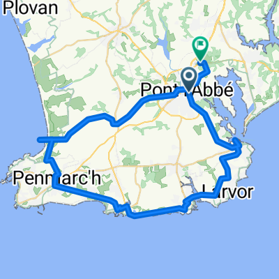 Pont l’Abbé Penmarch et Pare Eckmühl la Torche retour par
- Distance
- 45.9 km
- Ascent
- 115 m
- Descent
- 94 m
- Location
- Combrit, Brittany Region, France
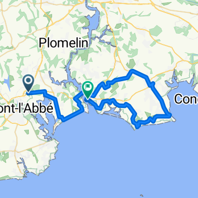
 Pont l'Abbe - Tregunc
- Distance
- 46 km
- Ascent
- 307 m
- Descent
- 290 m
- Location
- Combrit, Brittany Region, France
 sortie du dimanche
- Distance
- 99.1 km
- Ascent
- 481 m
- Descent
- 481 m
- Location
- Combrit, Brittany Region, France
 Pont l’Abbé l’île Tudy bacBénodet Bénodet Pointe Mousterlin Beg Meil Fouesnant et retour
- Distance
- 49.4 km
- Ascent
- 243 m
- Descent
- 263 m
- Location
- Combrit, Brittany Region, France
 De Quai de Pors Moro 5, Pont-l'Abbé à D44, Clohars-Fouesnant
- Distance
- 11.2 km
- Ascent
- 118 m
- Descent
- 105 m
- Location
- Combrit, Brittany Region, France
 pspp2
pspp2- Distance
- 2,343.4 km
- Ascent
- 6,606 m
- Descent
- 6,607 m
- Location
- Combrit, Brittany Region, France
 Loctudy
- Distance
- 20.3 km
- Ascent
- 50 m
- Descent
- 50 m
- Location
- Combrit, Brittany Region, France
 Combrit-Penmarc'h (par Forêt Fnst)
- Distance
- 105.3 km
- Ascent
- 419 m
- Descent
- 438 m
- Location
- Combrit, Brittany Region, France
Open it in the app