SNP 47 do SNP 58
- 31.9 km
- 237 m
- 236 m
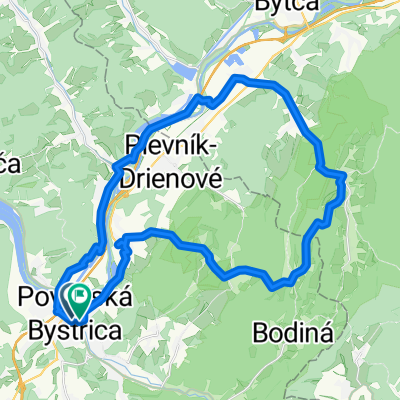
- Považská Bystrica, Trenčín Region, Slovakia
A cycling route starting in Považská Bystrica, Trenčín Region, Slovakia.
Overview
, Pov.Bystrica-Kalvária-Kostolec-Vrch Teplá-Hradná-Sedlo Studená-Str.budzogáň-Bodiná-Zakvašov-Rozkvet
created this 3 years ago


Route quality
Track
23.9 km
(53 %)
Quiet road
7.2 km
(16 %)
Paved
14 km
(31 %)
Unpaved
21.7 km
(48 %)
Asphalt
12.6 km
(28 %)
Ground
11.7 km
(26 %)
Continue with Bikemap
You would like to ride Budzogáň_2016_5 or customize it for your own trip? Here is what you can do with this Bikemap route:
Free trial for 3 days, or one-time payment. More about Bikemap Premium.
Discover more Premium features.
Get Bikemap PremiumFrom our community
Open it in the app