Monte Melino CLONED FROM ROUTE 117543
- 42.3 km
- 699 m
- 634 m
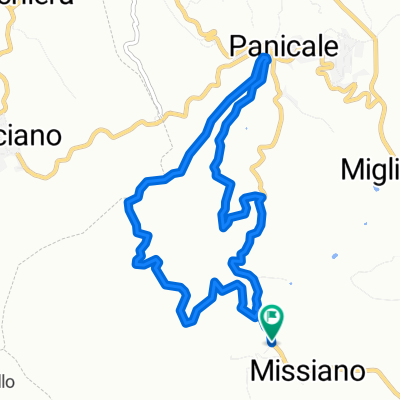
- Panicale, Umbria, Italy
A cycling route starting in Panicale, Umbria, Italy.
Overview
Mainly flat route around the lake. On the south side, there is a road.
created this 16 years ago
Route quality
Quiet road
17.7 km
(28 %)
Cycleway
13.3 km
(21 %)
Paved
22.1 km
(35 %)
Unpaved
22.7 km
(36 %)
Asphalt
20.2 km
(32 %)
Gravel
10.1 km
(16 %)
Continue with Bikemap
You would like to ride Rund um den Lago Trasimeno or customize it for your own trip? Here is what you can do with this Bikemap route:
Free trial for 3 days, or one-time payment. More about Bikemap Premium.
Discover more Premium features.
Get Bikemap PremiumFrom our community
Open it in the app