

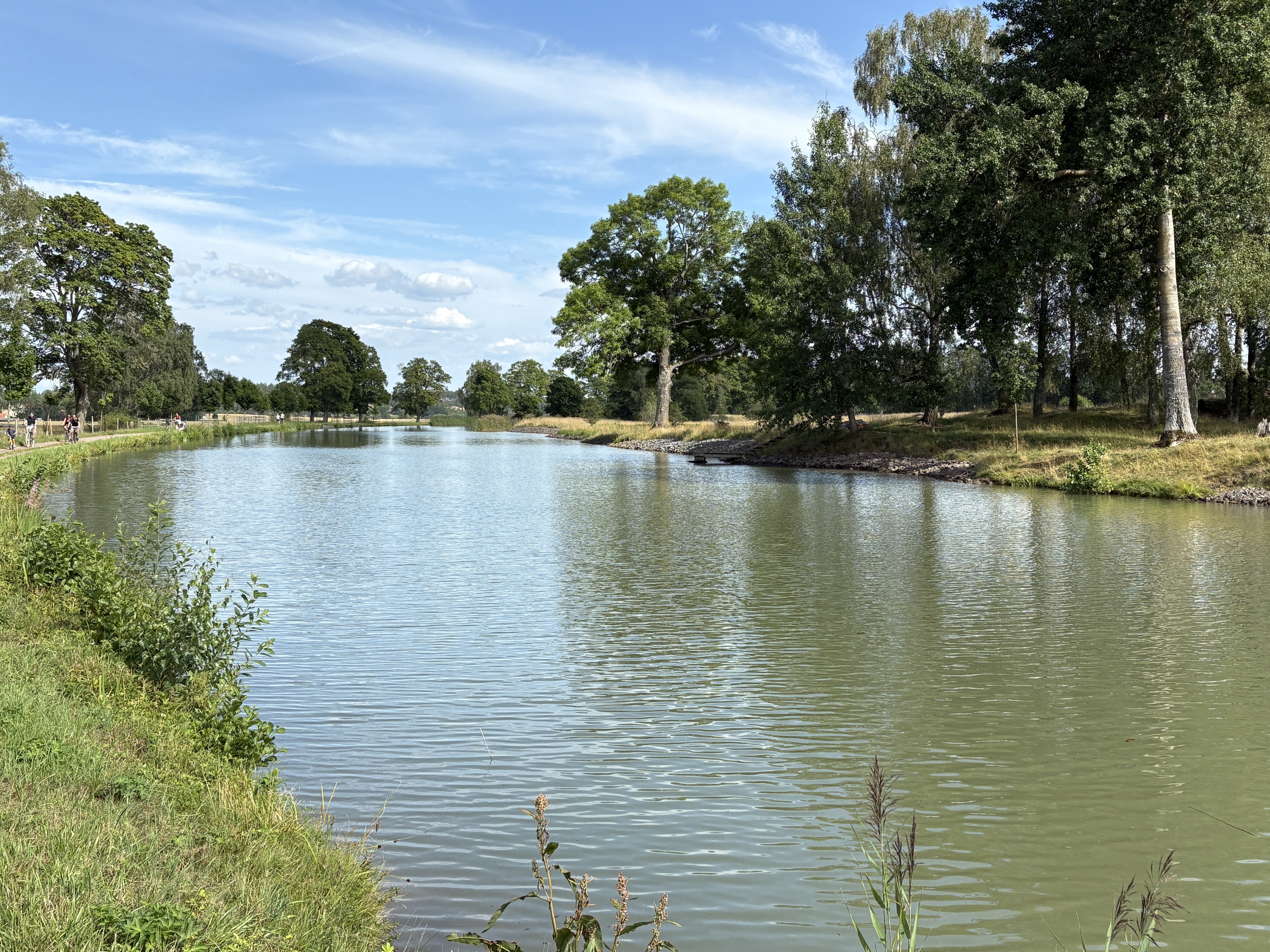
Berg--RW Götakanal--Borensberg--Motala Schleuse--Väster (Biskopvagen Aussichtspunkt)--Motala Bahnhof
A cycling route starting in Berg, Östergötland County, Sweden.
Overview
About this route
- -:--
- Duration
- 51 km
- Distance
- 230 m
- Ascent
- 188 m
- Descent
- ---
- Avg. speed
- 124 m
- Max. altitude

Route quality
Waytypes & surfaces along the route
Waytypes
Road
12.2 km
(24 %)
Quiet road
12.2 km
(24 %)
Surfaces
Paved
26.5 km
(52 %)
Unpaved
22.4 km
(44 %)
Asphalt
26 km
(51 %)
Gravel
18.9 km
(37 %)
Continue with Bikemap
Use, edit, or download this cycling route
You would like to ride Berg--RW Götakanal--Borensberg--Motala Schleuse--Väster (Biskopvagen Aussichtspunkt)--Motala Bahnhof or customize it for your own trip? Here is what you can do with this Bikemap route:
Free features
- Save this route as favorite or in collections
- Copy & plan your own version of this route
- Sync your route with Garmin or Wahoo
Premium features
Free trial for 3 days, or one-time payment. More about Bikemap Premium.
- Navigate this route on iOS & Android
- Export a GPX / KML file of this route
- Create your custom printout (try it for free)
- Download this route for offline navigation
Discover more Premium features.
Get Bikemap PremiumFrom our community
Other popular routes starting in Berg
 Berg--RW Götakanal--Borensberg--Motala Schleuse--Väster (Biskopvagen Aussichtspunkt)--Motala Bahnhof
- Distance
- 51 km
- Ascent
- 230 m
- Descent
- 188 m
- Location
- Berg, Östergötland County, Sweden
 Berg Schleusentreppe--RW Götakanal--Borensberg--RW Motalaström/Götakanal--Brunneby Herrgard/ Kyrka--Ljungs Slott--Vreta Kloster/Garden--Berg Schleusentreppe
- Distance
- 49.6 km
- Ascent
- 227 m
- Descent
- 223 m
- Location
- Berg, Östergötland County, Sweden
 Tjällmo ToR
- Distance
- 73.8 km
- Ascent
- 245 m
- Descent
- 239 m
- Location
- Berg, Östergötland County, Sweden
 Vånga ToR
- Distance
- 49.8 km
- Ascent
- 391 m
- Descent
- 398 m
- Location
- Berg, Östergötland County, Sweden
 Sectra
- Distance
- 14.8 km
- Ascent
- 78 m
- Descent
- 57 m
- Location
- Berg, Östergötland County, Sweden
 18k norrut
- Distance
- 17.9 km
- Ascent
- 239 m
- Descent
- 241 m
- Location
- Berg, Östergötland County, Sweden
 Spantvägen, Vreta Kloster nach Strandbadens campingområde, Borensberg
- Distance
- 22.3 km
- Ascent
- 54 m
- Descent
- 17 m
- Location
- Berg, Östergötland County, Sweden
 Berg - Navekvarn
- Distance
- 109 km
- Ascent
- 354 m
- Descent
- 379 m
- Location
- Berg, Östergötland County, Sweden
Open it in the app