Vom Odenwald nach Santiago
- 2,517.5 km
- 4,150 m
- 4,331 m
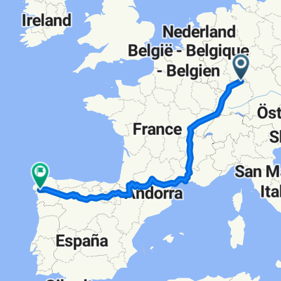
- Walldürn, Baden-Wurttemberg, Germany
A cycling route starting in Walldürn, Baden-Wurttemberg, Germany.
Overview
A combination of the two routes of the Grünkernradweg / Start and finish: Nibelungenhalle parking lot in Walldürn / The signage is generally poorly done, so take a GPS with you
created this 4 years ago
Route quality
Quiet road
33 km
(42 %)
Track
25.9 km
(33 %)
Paved
64.3 km
(82 %)
Unpaved
3.9 km
(5 %)
Asphalt
58.1 km
(74 %)
Paved (undefined)
6.3 km
(8 %)
Continue with Bikemap
You would like to ride Grünkernradweg ab Walldürn or customize it for your own trip? Here is what you can do with this Bikemap route:
Free trial for 3 days, or one-time payment. More about Bikemap Premium.
Discover more Premium features.
Get Bikemap PremiumFrom our community
Open it in the app