

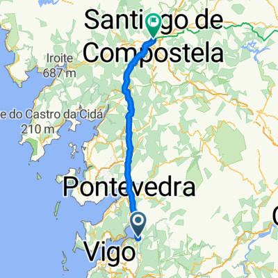
Ruta del agua Redondela
A cycling route starting in Redondela, Galicia, Spain.
Overview
About this route
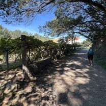
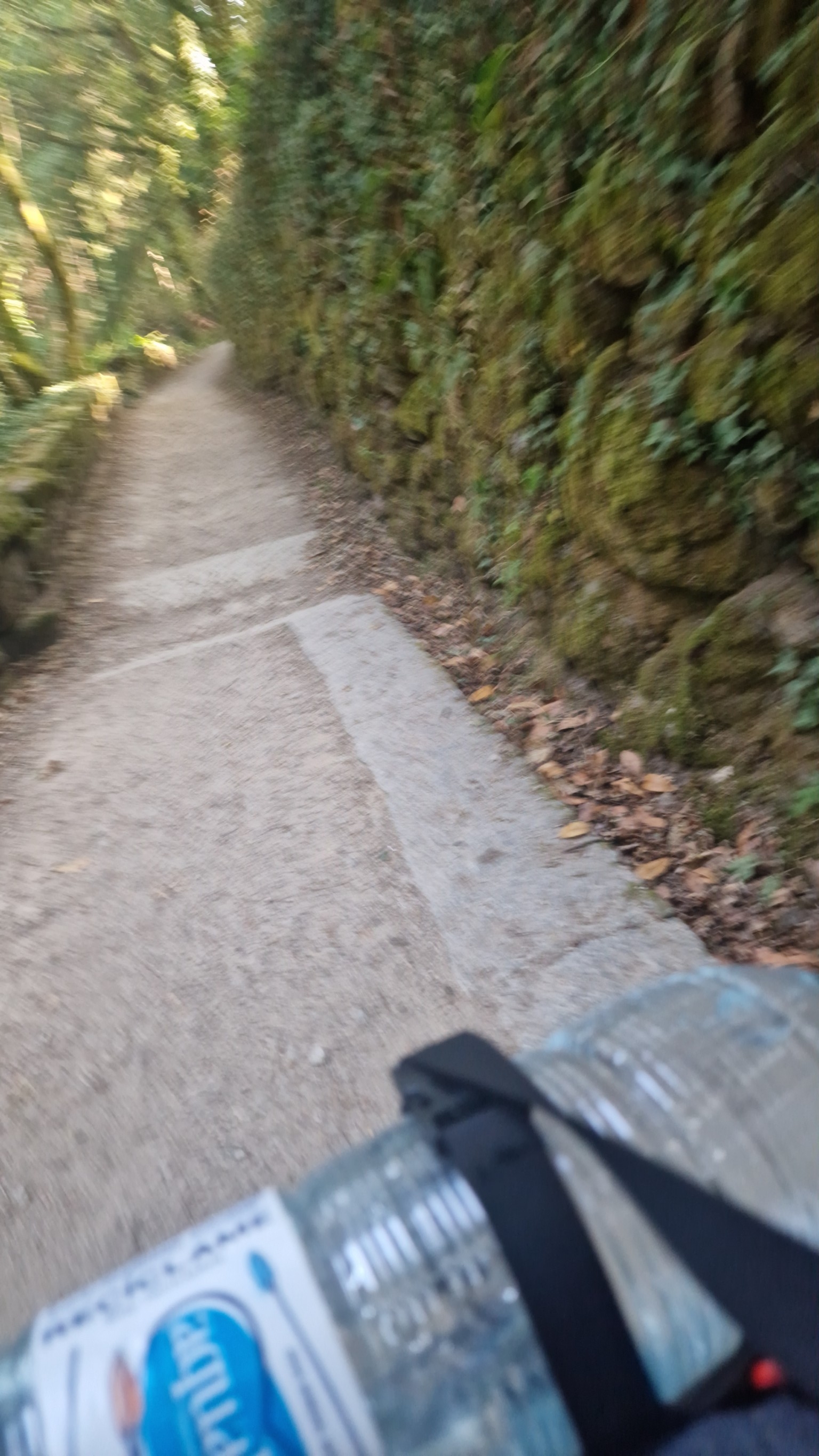
Classic route layout of this beautiful and quiet path that runs from the mountains of Pazos de Borbén to the slope of Chapela.
- -:--
- Duration
- 44.1 km
- Distance
- 353 m
- Ascent
- 346 m
- Descent
- ---
- Avg. speed
- ---
- Max. altitude

Route quality
Waytypes & surfaces along the route
Waytypes
Path
37.5 km
(85 %)
Quiet road
3.5 km
(8 %)
Surfaces
Paved
5.3 km
(12 %)
Unpaved
37.5 km
(85 %)
Ground
35.7 km
(81 %)
Asphalt
4.8 km
(11 %)
Continue with Bikemap
Use, edit, or download this cycling route
You would like to ride Ruta del agua Redondela or customize it for your own trip? Here is what you can do with this Bikemap route:
Free features
- Save this route as favorite or in collections
- Copy & plan your own version of this route
- Sync your route with Garmin or Wahoo
Premium features
Free trial for 3 days, or one-time payment. More about Bikemap Premium.
- Navigate this route on iOS & Android
- Export a GPX / KML file of this route
- Create your custom printout (try it for free)
- Download this route for offline navigation
Discover more Premium features.
Get Bikemap PremiumFrom our community
Other popular routes starting in Redondela
 Ruta moderada en Vigo
- Distance
- 11.8 km
- Ascent
- 201 m
- Descent
- 374 m
- Location
- Redondela, Galicia, Spain
 Camino Português - Day 10 | Arcade to Barro
- Distance
- 25.7 km
- Ascent
- 499 m
- Descent
- 431 m
- Location
- Redondela, Galicia, Spain
 3-Redondela-Santiago
- Distance
- 81.2 km
- Ascent
- 1,382 m
- Descent
- 1,141 m
- Location
- Redondela, Galicia, Spain
 Aldea Souto nach Rúa Juan Bautista Andrade
- Distance
- 14.6 km
- Ascent
- 297 m
- Descent
- 352 m
- Location
- Redondela, Galicia, Spain
 Ruta del agua Redondela
- Distance
- 44.1 km
- Ascent
- 353 m
- Descent
- 346 m
- Location
- Redondela, Galicia, Spain
 Arcade/Padrón
- Distance
- 52.6 km
- Ascent
- 464 m
- Descent
- 506 m
- Location
- Redondela, Galicia, Spain
 Ruta de la Fracha. Peña Corredoira
- Distance
- 35 km
- Ascent
- 908 m
- Descent
- 781 m
- Location
- Redondela, Galicia, Spain
 arcade sanxenxo
- Distance
- 32.5 km
- Ascent
- 277 m
- Descent
- 279 m
- Location
- Redondela, Galicia, Spain
Open it in the app