

Soonwald-Bingerwald
A cycling route starting in Münster-Sarmsheim, Rhineland-Palatinate, Germany.
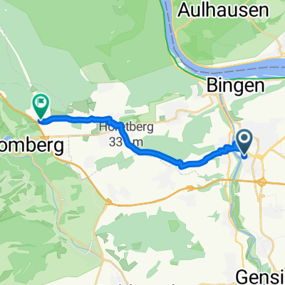
Overview
About this route
Varied Soonwald loop with the MTB. Mostly asphalt, at the end forest highway through the Bingerwald. About 65 km and 1200 m of elevation gain. Have fun recreating it! Jo_Montana :-)
- -:--
- Duration
- 65.3 km
- Distance
- 1,320 m
- Ascent
- 1,041 m
- Descent
- ---
- Avg. speed
- 649 m
- Max. altitude

Route quality
Waytypes & surfaces along the route
Waytypes
Road
20.9 km
(32 %)
Track
17.6 km
(27 %)
Surfaces
Paved
39.9 km
(61 %)
Unpaved
17.6 km
(27 %)
Asphalt
36.6 km
(56 %)
Unpaved (undefined)
7.8 km
(12 %)
Route highlights
Points of interest along the route

Point of interest after 13.3 km
Guchguck :-)

Photo after 46.3 km
Salzkopf mit Aussichtsturm

Photo after 61.7 km
Bingen am Rhein
Continue with Bikemap
Use, edit, or download this cycling route
You would like to ride Soonwald-Bingerwald or customize it for your own trip? Here is what you can do with this Bikemap route:
Free features
- Save this route as favorite or in collections
- Copy & plan your own version of this route
- Sync your route with Garmin or Wahoo
Premium features
Free trial for 3 days, or one-time payment. More about Bikemap Premium.
- Navigate this route on iOS & Android
- Export a GPX / KML file of this route
- Create your custom printout (try it for free)
- Download this route for offline navigation
Discover more Premium features.
Get Bikemap PremiumFrom our community
Other popular routes starting in Münster-Sarmsheim
 Hochsteinchen-Kandrich
- Distance
- 57.5 km
- Ascent
- 1,094 m
- Descent
- 1,094 m
- Location
- Münster-Sarmsheim, Rhineland-Palatinate, Germany
 Von Bingen am Rhein bis Warmsroth
- Distance
- 11.3 km
- Ascent
- 305 m
- Descent
- 74 m
- Location
- Münster-Sarmsheim, Rhineland-Palatinate, Germany
 Soonwald-Bingerwald
- Distance
- 65.3 km
- Ascent
- 1,320 m
- Descent
- 1,041 m
- Location
- Münster-Sarmsheim, Rhineland-Palatinate, Germany
 Trainings Route 1
- Distance
- 13.8 km
- Ascent
- 69 m
- Descent
- 65 m
- Location
- Münster-Sarmsheim, Rhineland-Palatinate, Germany
 Bingen-Kreuznach Salinental und zurück
- Distance
- 46.1 km
- Ascent
- 180 m
- Descent
- 180 m
- Location
- Münster-Sarmsheim, Rhineland-Palatinate, Germany
 Route in Bingen am Rhein
- Distance
- 26.4 km
- Ascent
- 118 m
- Descent
- 115 m
- Location
- Münster-Sarmsheim, Rhineland-Palatinate, Germany
 Kreuzbachklamm Tour
- Distance
- 40.1 km
- Ascent
- 1,161 m
- Descent
- 1,161 m
- Location
- Münster-Sarmsheim, Rhineland-Palatinate, Germany
 Zahnarzt
- Distance
- 14.6 km
- Ascent
- 65 m
- Descent
- 35 m
- Location
- Münster-Sarmsheim, Rhineland-Palatinate, Germany
Open it in the app