

Beyharting - Samerberg - Simssee
A cycling route starting in Tuntenhausen, Bavaria, Germany.
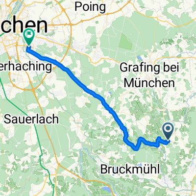
Overview
About this route
<p><strong>Charming loop from the unique panoramic terrace north of the Mangfall Valley up to the first foothills of the Alps at Samerberg</strong></p>
<p>The paths used are mostly quiet, except near the Inn and in Rosenheim, but all are absolutely dreamy. The Alps chain steadily approaching from the south draws you in more and more.</p>
<p>Highlights along the route include the picturesque "Premium" village of Neubeuern, the Samerberg, and the lovely hilly hinterland of Sims Lake.</p>
<p>A pleasurable ride with many kilometers full of impressions and valuable altitude meters!</p>
Translated, show original (German)- -:--
- Duration
- 92.7 km
- Distance
- 600 m
- Ascent
- 602 m
- Descent
- ---
- Avg. speed
- ---
- Max. altitude
Continue with Bikemap
Use, edit, or download this cycling route
You would like to ride Beyharting - Samerberg - Simssee or customize it for your own trip? Here is what you can do with this Bikemap route:
Free features
- Save this route as favorite or in collections
- Copy & plan your own version of this route
- Split it into stages to create a multi-day tour
- Sync your route with Garmin or Wahoo
Premium features
Free trial for 3 days, or one-time payment. More about Bikemap Premium.
- Navigate this route on iOS & Android
- Export a GPX / KML file of this route
- Create your custom printout (try it for free)
- Download this route for offline navigation
Discover more Premium features.
Get Bikemap PremiumFrom our community
Other popular routes starting in Tuntenhausen
 Route von Antersberg 500, Tuntenhausen
- Distance
- 39.9 km
- Ascent
- 275 m
- Descent
- 237 m
- Location
- Tuntenhausen, Bavaria, Germany
 Tuntenhausen Wolfersberg Neuperlach
- Distance
- 41.8 km
- Ascent
- 355 m
- Descent
- 300 m
- Location
- Tuntenhausen, Bavaria, Germany
 Arbeit über Glonn und Siegertsbrunn nach Neuperlach
- Distance
- 41.2 km
- Ascent
- 280 m
- Descent
- 230 m
- Location
- Tuntenhausen, Bavaria, Germany
 Gemeinderundweg Tuntenhausen - Gemeinderundweg Tuntenhausen
- Distance
- 37.6 km
- Ascent
- 407 m
- Descent
- 409 m
- Location
- Tuntenhausen, Bavaria, Germany
 Irschenberg-Vorland-Runde ab Tuntenhausen
- Distance
- 43.3 km
- Ascent
- 364 m
- Descent
- 360 m
- Location
- Tuntenhausen, Bavaria, Germany
 Von Tuntenhausen nach München/Neuperlach
- Distance
- 42.5 km
- Ascent
- 363 m
- Descent
- 321 m
- Location
- Tuntenhausen, Bavaria, Germany
 neue Feierabendrunde
- Distance
- 24.2 km
- Ascent
- 223 m
- Descent
- 220 m
- Location
- Tuntenhausen, Bavaria, Germany
 20.06.11 Frohnleichnamstour
- Distance
- 49.6 km
- Ascent
- 314 m
- Descent
- 303 m
- Location
- Tuntenhausen, Bavaria, Germany
Open it in the app