

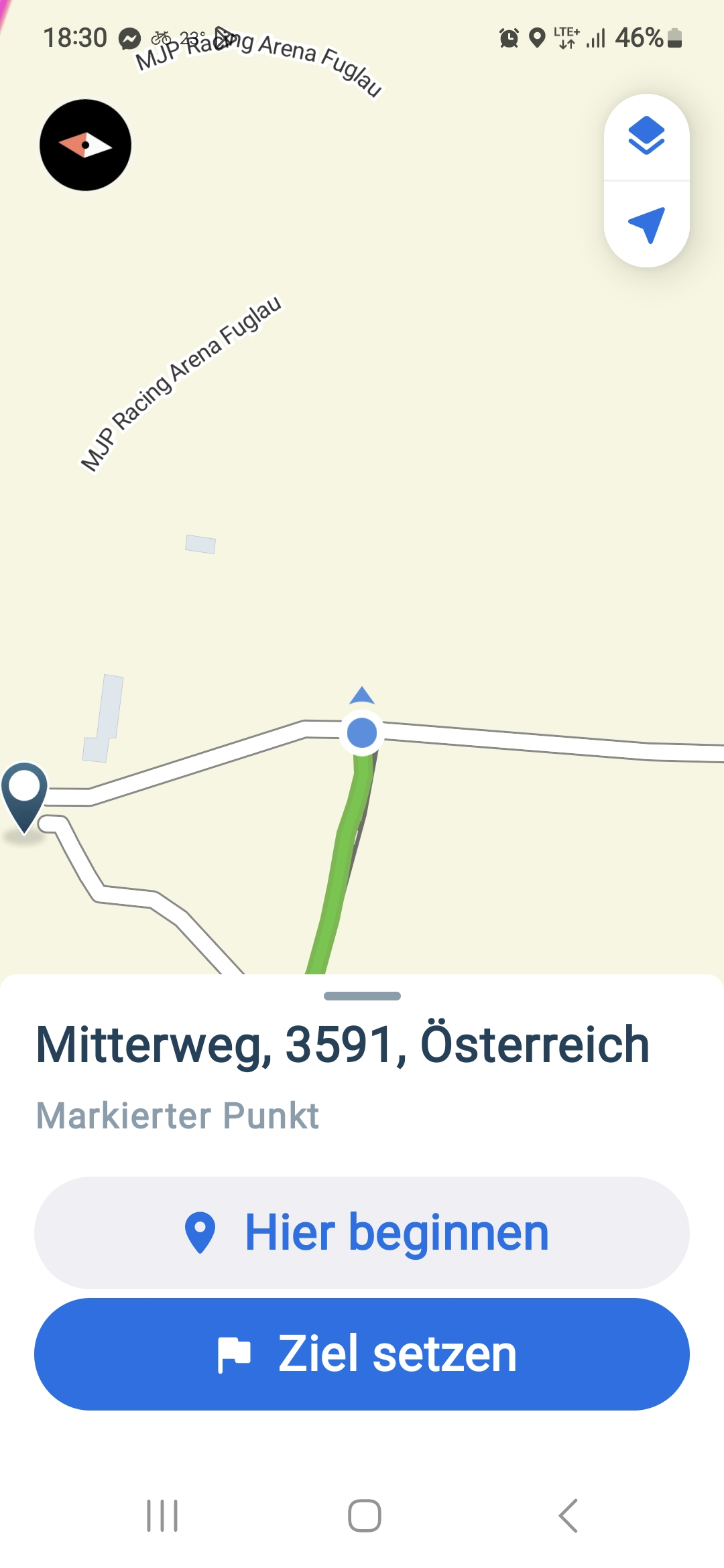
Altpölla 28, Altpölla nach Bürgerstraße, ZwettlSchwarzenau
A cycling route starting in Röhrenbach, Lower Austria, Austria.
Overview
About this route
- 4 h 14 min
- Duration
- 59.5 km
- Distance
- 875 m
- Ascent
- 836 m
- Descent
- 14 km/h
- Avg. speed
- 624 m
- Max. altitude

Route quality
Waytypes & surfaces along the route
Waytypes
Road
26.8 km
(45 %)
Quiet road
14.3 km
(24 %)
Surfaces
Paved
19.6 km
(33 %)
Unpaved
4.2 km
(7 %)
Asphalt
13.7 km
(23 %)
Paved (undefined)
5.9 km
(10 %)
Continue with Bikemap
Use, edit, or download this cycling route
You would like to ride Altpölla 28, Altpölla nach Bürgerstraße, ZwettlSchwarzenau or customize it for your own trip? Here is what you can do with this Bikemap route:
Free features
- Save this route as favorite or in collections
- Copy & plan your own version of this route
- Sync your route with Garmin or Wahoo
Premium features
Free trial for 3 days, or one-time payment. More about Bikemap Premium.
- Navigate this route on iOS & Android
- Export a GPX / KML file of this route
- Create your custom printout (try it for free)
- Download this route for offline navigation
Discover more Premium features.
Get Bikemap PremiumFrom our community
Other popular routes starting in Röhrenbach
 Tautendorf bei Röhrenbach nach Tautendorf bei Röhrenbach
- Distance
- 31.8 km
- Ascent
- 356 m
- Descent
- 407 m
- Location
- Röhrenbach, Lower Austria, Austria
 1 nap Ramsautól
- Distance
- 66.3 km
- Ascent
- 659 m
- Descent
- 532 m
- Location
- Röhrenbach, Lower Austria, Austria
 Wegscheid - Kamptal - Langenlois - Krems
- Distance
- 63.3 km
- Ascent
- 338 m
- Descent
- 514 m
- Location
- Röhrenbach, Lower Austria, Austria
 🚴♀️E*Bike🇦🇹 20.06.17.- 2.Tag Kamptalradweg Altpölla-Straß
- Distance
- 54.6 km
- Ascent
- 163 m
- Descent
- 408 m
- Location
- Röhrenbach, Lower Austria, Austria
 Tagesrunde Pölla
- Distance
- 38.6 km
- Ascent
- 408 m
- Descent
- 412 m
- Location
- Röhrenbach, Lower Austria, Austria
 Volt-Runde Pölla
- Distance
- 38.1 km
- Ascent
- 423 m
- Descent
- 407 m
- Location
- Röhrenbach, Lower Austria, Austria
 ramsau
- Distance
- 13.3 km
- Ascent
- 148 m
- Descent
- 125 m
- Location
- Röhrenbach, Lower Austria, Austria
 Tautendorf bei Röhrenbach 23 nach Tautendorf bei Röhrenbach 23
- Distance
- 22.7 km
- Ascent
- 407 m
- Descent
- 459 m
- Location
- Röhrenbach, Lower Austria, Austria
Open it in the app