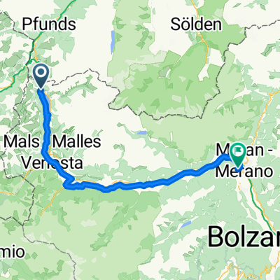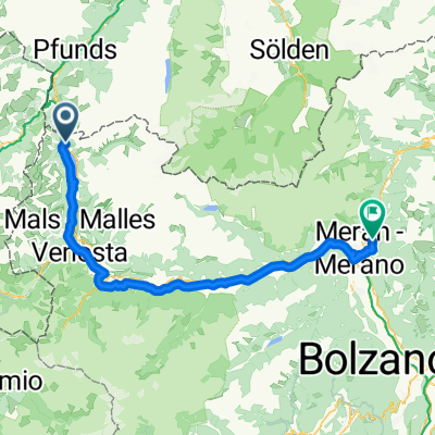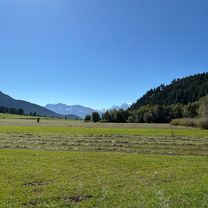
Tag 5: Bergab durch Südtirol
- 122.6 km
- 310 m
- 1,609 m
- Graun im Vinschgau, Trentino-Alto Adige, Italy
A cycling route starting in Graun im Vinschgau, Trentino-Alto Adige, Italy.
Overview
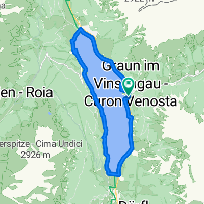
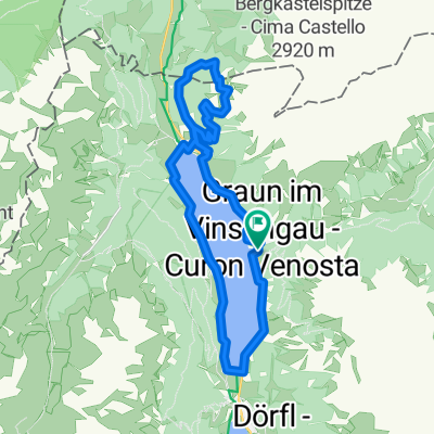
From Reschen to the valley station Piz/Schöneben, then to the Rojental valley, and from there on the forest road towards Haideralm. Shortly after the forest barrier, you have to push the bike about 100 meters between the trees onto the forest road towards Haideralm, from there it goes on the old Schöneben road towards Schöneben and then back to Resche via Vallieteck.
created this 14 years ago
Route quality
Track
9.9 km
(46 %)
Quiet road
5.6 km
(26 %)
Paved
12.7 km
(59 %)
Unpaved
5.6 km
(26 %)
Asphalt
12.7 km
(59 %)
Gravel
5.6 km
(26 %)
Undefined
3.2 km
(15 %)
Continue with Bikemap
You would like to ride Schönebenrunde or customize it for your own trip? Here is what you can do with this Bikemap route:
Free trial for 3 days, or one-time payment. More about Bikemap Premium.
Discover more Premium features.
Get Bikemap PremiumFrom our community
Open it in the app