ecoveloroute_etape14
- 110.4 km
- 362 m
- 401 m
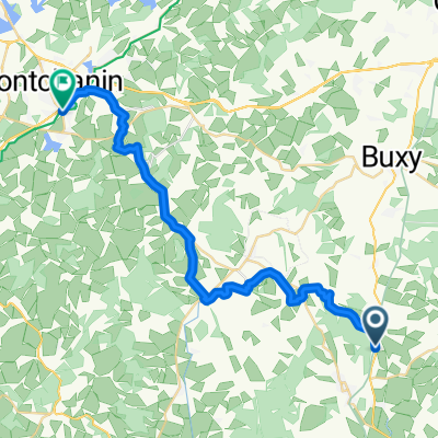
- Saint-Gengoux-le-National, Bourgogne-Franche-Comté, France
A cycling route starting in Saint-Gengoux-le-National, Bourgogne-Franche-Comté, France.
Overview
Saint-Ythaire Taize Cluny La Vineuse Bonny
created this 3 years ago
Route quality
Quiet road
17 km
(35 %)
Path
13.1 km
(27 %)
Paved
15.6 km
(32 %)
Unpaved
1.5 km
(3 %)
Asphalt
15.6 km
(32 %)
Ground
1 km
(2 %)
Continue with Bikemap
You would like to ride Runde um Cluny im Südburgund or customize it for your own trip? Here is what you can do with this Bikemap route:
Free trial for 3 days, or one-time payment. More about Bikemap Premium.
Discover more Premium features.
Get Bikemap PremiumFrom our community
Open it in the app