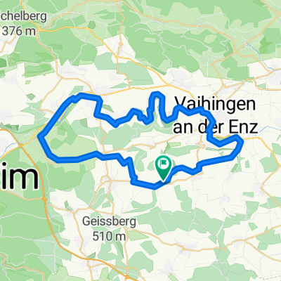
AGGROTOUR aber ACHTUNG FUßGÄNGER
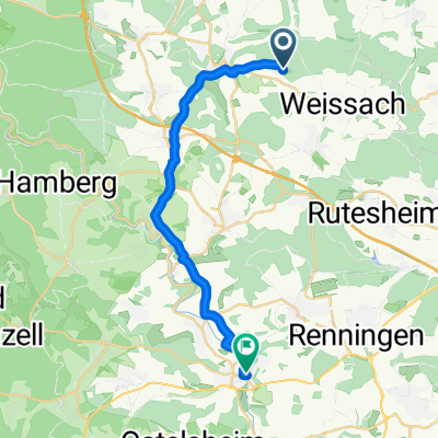
- 3.3 km
- 146 m
- 146 m
- Mönsheim, Baden-Wurttemberg, Germany
A cycling route starting in Mönsheim, Baden-Wurttemberg, Germany.
Overview
created this 3 years ago
Route quality
Track
8.9 km
(86 %)
Path
0.9 km
(9 %)
Paved
0.5 km
(5 %)
Unpaved
10 km
(96 %)
Gravel
5.5 km
(53 %)
Ground
3.3 km
(32 %)
Continue with Bikemap
You would like to ride Längere Waldrunde or customize it for your own trip? Here is what you can do with this Bikemap route:
Free trial for 3 days, or one-time payment. More about Bikemap Premium.
Discover more Premium features.
Get Bikemap PremiumFrom our community
Open it in the app