

NSW Bad Wildbad-Meisternberg-Bad Teinach
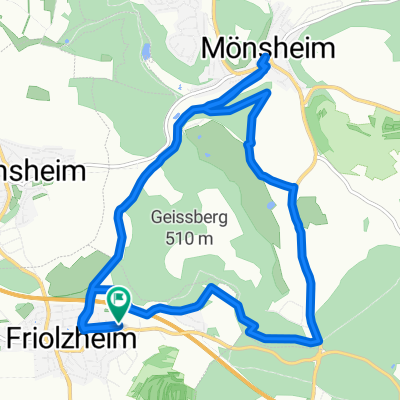
A cycling route starting in Friolzheim, Baden-Wurttemberg, Germany.
Overview
About this route
Die Strecke führt von Friolzheim/Marktplatz in den Nordschwarzwald zu den Thermalbadorten Bad Wildbad und Bad teinach. Der höchste Punkt ist der Meisternberg zwischen dem kleinen und großen Enztal. Die Anstiege sind mittelsteil, bis auf das kurze Stück in Hirsau (12%)
Einkehr in Bad Wildbad und Calw möglich
ca. 1600Hm ca. 4-5h
- -:--
- Duration
- 104.3 km
- Distance
- 1,833 m
- Ascent
- 1,845 m
- Descent
- ---
- Avg. speed
- 812 m
- Max. altitude

Route quality
Waytypes & surfaces along the route
Waytypes
Busy road
50.3 km
(48 %)
Road
24.7 km
(24 %)
Surfaces
Paved
82 km
(79 %)
Unpaved
1 km
(<1 %)
Asphalt
78.2 km
(75 %)
Paved (undefined)
2.5 km
(2 %)
Continue with Bikemap
Use, edit, or download this cycling route
You would like to ride NSW Bad Wildbad-Meisternberg-Bad Teinach or customize it for your own trip? Here is what you can do with this Bikemap route:
Free features
- Save this route as favorite or in collections
- Copy & plan your own version of this route
- Split it into stages to create a multi-day tour
- Sync your route with Garmin or Wahoo
Premium features
Free trial for 3 days, or one-time payment. More about Bikemap Premium.
- Navigate this route on iOS & Android
- Export a GPX / KML file of this route
- Create your custom printout (try it for free)
- Download this route for offline navigation
Discover more Premium features.
Get Bikemap PremiumFrom our community
Other popular routes starting in Friolzheim
 "Winter-Würmtal-Cross"
- Distance
- 25.2 km
- Ascent
- 336 m
- Descent
- 338 m
- Location
- Friolzheim, Baden-Wurttemberg, Germany
 Feierabendrunde
- Distance
- 13.9 km
- Ascent
- 194 m
- Descent
- 147 m
- Location
- Friolzheim, Baden-Wurttemberg, Germany
 Friolzheim / Mönsheim (Golf Club) CLONED FROM ROUTE 1744575
- Distance
- 12.8 km
- Ascent
- 293 m
- Descent
- 293 m
- Location
- Friolzheim, Baden-Wurttemberg, Germany
 versuch
- Distance
- 5.6 km
- Ascent
- 101 m
- Descent
- 102 m
- Location
- Friolzheim, Baden-Wurttemberg, Germany
 friolzheim richtung seehaus
- Distance
- 10 km
- Ascent
- 131 m
- Descent
- 162 m
- Location
- Friolzheim, Baden-Wurttemberg, Germany
 friolzheim zum minigolf rutesheim
- Distance
- 18.4 km
- Ascent
- 288 m
- Descent
- 290 m
- Location
- Friolzheim, Baden-Wurttemberg, Germany
 Friolzheim / Römerhügel / Seehausstr. / Tiefenbronn / Friolzheim
- Distance
- 11.2 km
- Ascent
- 119 m
- Descent
- 119 m
- Location
- Friolzheim, Baden-Wurttemberg, Germany
 NSW Bad Wildbad-Meisternberg-Bad Teinach
- Distance
- 104.3 km
- Ascent
- 1,833 m
- Descent
- 1,845 m
- Location
- Friolzheim, Baden-Wurttemberg, Germany
Open it in the app