Tour de Greylock
A cycling route starting in Pittsfield, Massachusetts, United States.
Overview
About this route
- -:--
- Duration
- 79 km
- Distance
- 800 m
- Ascent
- 802 m
- Descent
- ---
- Avg. speed
- 488 m
- Max. altitude
Route quality
Waytypes & surfaces along the route
Waytypes
Quiet road
25.2 km
(32 %)
Cycleway
19.8 km
(25 %)
Surfaces
Paved
41.2 km
(52 %)
Unpaved
6.4 km
(8 %)
Asphalt
41.1 km
(52 %)
Unpaved (undefined)
6.4 km
(8 %)
Continue with Bikemap
Use, edit, or download this cycling route
You would like to ride Tour de Greylock or customize it for your own trip? Here is what you can do with this Bikemap route:
Free features
- Save this route as favorite or in collections
- Copy & plan your own version of this route
- Sync your route with Garmin or Wahoo
Premium features
Free trial for 3 days, or one-time payment. More about Bikemap Premium.
- Navigate this route on iOS & Android
- Export a GPX / KML file of this route
- Create your custom printout (try it for free)
- Download this route for offline navigation
Discover more Premium features.
Get Bikemap PremiumFrom our community
Other popular routes starting in Pittsfield
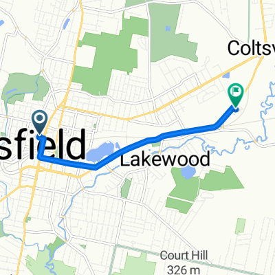
- Stoddard Avenue 40, Pittsfield to Cole Avenue 308, Williamstown
- Distance
- 51 km
- Ascent
- 229 m
- Descent
- 332 m
- Location
- Pittsfield, Massachusetts, United States
- Around Town
- Distance
- 2.8 km
- Ascent
- 29 m
- Descent
- 30 m
- Location
- Pittsfield, Massachusetts, United States
- woods pond loop
- Distance
- 32.4 km
- Ascent
- 265 m
- Descent
- 233 m
- Location
- Pittsfield, Massachusetts, United States
- Washington Mt. 1
- Distance
- 30.1 km
- Ascent
- 476 m
- Descent
- 476 m
- Location
- Pittsfield, Massachusetts, United States
- ride
- Distance
- 127.8 km
- Ascent
- 913 m
- Descent
- 913 m
- Location
- Pittsfield, Massachusetts, United States
- Stoddard Avenue 35, Pittsfield to Willow Creek Road 40, Lenox
- Distance
- 14.3 km
- Ascent
- 168 m
- Descent
- 185 m
- Location
- Pittsfield, Massachusetts, United States
- 15 Cobble Stone Cove, Pittsfield to 1100–1374 Cascade St, Pittsfield
- Distance
- 9.3 km
- Ascent
- 90 m
- Descent
- 60 m
- Location
- Pittsfield, Massachusetts, United States
- Leslie Route!
- Distance
- 4.7 km
- Ascent
- 45 m
- Descent
- 44 m
- Location
- Pittsfield, Massachusetts, United States
Open it in the app