

Queen Anne to Lake Forest Park via Bike Path and Streets
A cycling route starting in Seattle, Washington, United States.
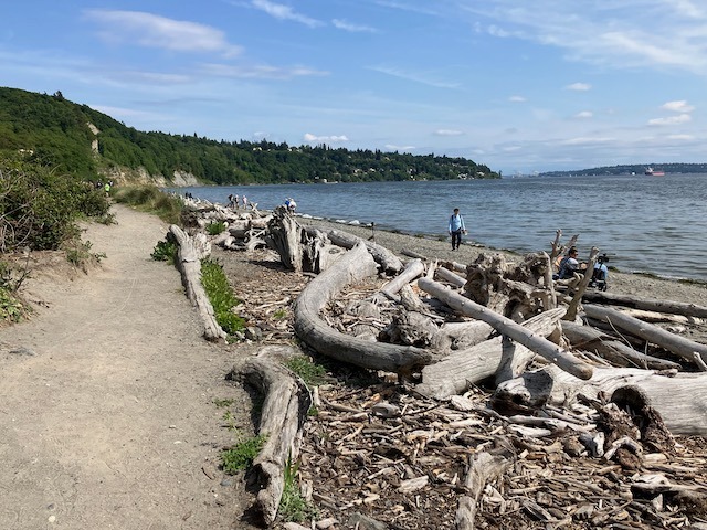
Overview
About this route
One way was mostly along bike path (the Burke-Gilman Trail) while the other was along various streets including Bothell Way NE and Sand Point Way NE. Along most of Bothell Way NE, there's a wide bus lane to ride in. For a short stretch before turning off onto 35th Ave NE, there's a narrow lane and no shoulder. Along Sand Point Way, there's mostly some shoulder.
- 3 h 4 min
- Duration
- 50.8 km
- Distance
- 484 m
- Ascent
- 482 m
- Descent
- 16.5 km/h
- Avg. speed
- 95 m
- Max. altitude

Route quality
Waytypes & surfaces along the route
Waytypes
Pedestrian area
16.5 km
(32 %)
Cycleway
16 km
(32 %)
Surfaces
Paved
42.5 km
(84 %)
Unpaved
0.1 km
(<1 %)
Asphalt
26.1 km
(51 %)
Concrete
12.4 km
(24 %)
Continue with Bikemap
Use, edit, or download this cycling route
You would like to ride Queen Anne to Lake Forest Park via Bike Path and Streets or customize it for your own trip? Here is what you can do with this Bikemap route:
Free features
- Save this route as favorite or in collections
- Copy & plan your own version of this route
- Sync your route with Garmin or Wahoo
Premium features
Free trial for 3 days, or one-time payment. More about Bikemap Premium.
- Navigate this route on iOS & Android
- Export a GPX / KML file of this route
- Create your custom printout (try it for free)
- Download this route for offline navigation
Discover more Premium features.
Get Bikemap PremiumFrom our community
Other popular routes starting in Seattle
 Magnolia/Discovery Park Hidden Areas and Great Climbs
- Distance
- 34.9 km
- Ascent
- 530 m
- Descent
- 530 m
- Location
- Seattle, Washington, United States
 Bridge2Bridge
- Distance
- 34.3 km
- Ascent
- 448 m
- Descent
- 449 m
- Location
- Seattle, Washington, United States
 university loop
- Distance
- 16.9 km
- Ascent
- 125 m
- Descent
- 124 m
- Location
- Seattle, Washington, United States
 Cedar River Trail to Snoqualmie to Home
- Distance
- 124.9 km
- Ascent
- 824 m
- Descent
- 839 m
- Location
- Seattle, Washington, United States
 Snoqualmie Loop
- Distance
- 117 km
- Ascent
- 824 m
- Descent
- 824 m
- Location
- Seattle, Washington, United States
 1/2 of Lake Washington Loop
- Distance
- 54 km
- Ascent
- 358 m
- Descent
- 358 m
- Location
- Seattle, Washington, United States
 Fremont - Kenmore - Kirkland - 520 - Fremont Loop
- Distance
- 49.1 km
- Ascent
- 568 m
- Descent
- 568 m
- Location
- Seattle, Washington, United States
 2802 NW 61st St, Seattle to 2811 NW 61st St, Seattle
- Distance
- 61.5 km
- Ascent
- 6 m
- Descent
- 35 m
- Location
- Seattle, Washington, United States
Open it in the app