Nikolaus Dumba-Gasse 5, Tattendorf nach L4168 28
- 61.7 km
- 586 m
- 201 m
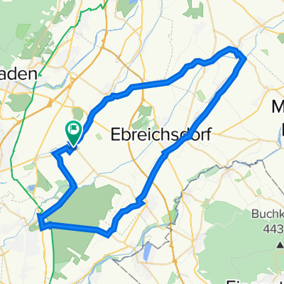
- Tattendorf, Lower Austria, Austria
A cycling route starting in Tattendorf, Lower Austria, Austria.
Overview
created this 3 years ago
Route quality
Track
4.3 km
(58 %)
Quiet road
2.1 km
(28 %)
Paved
3.4 km
(46 %)
Unpaved
3.5 km
(47 %)
Gravel
3.5 km
(47 %)
Asphalt
3.4 km
(46 %)
Undefined
0.5 km
(7 %)
Continue with Bikemap
You would like to ride Pottendorf nach Wiener Neustädter Straße 34a, Ebreichsdorf or customize it for your own trip? Here is what you can do with this Bikemap route:
Free trial for 3 days, or one-time payment. More about Bikemap Premium.
Discover more Premium features.
Get Bikemap PremiumFrom our community
Open it in the app