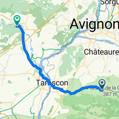
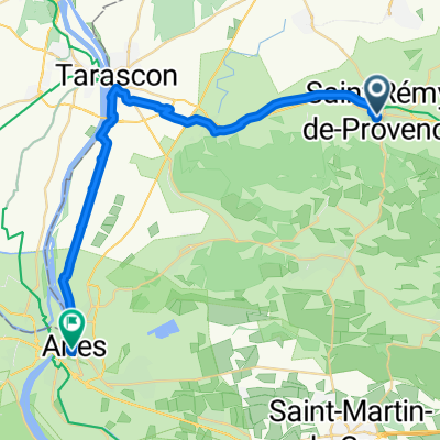
Provence: Alpilles Ost
A cycling route starting in Saint-R茅my-de-Provence, Provence-Alpes-C么te d'Azur Region, France.
Overview
About this route
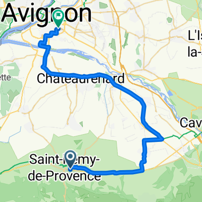
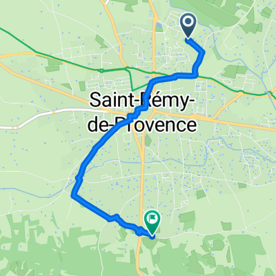
St. Remy-de-Provence - Mouries - Eyguieres - Eygalieres - St. Remy-de-Provence
- -:--
- Duration
- 67 km
- Distance
- 690 m
- Ascent
- 690 m
- Descent
- ---
- Avg. speed
- ---
- Max. altitude
Route highlights
Points of interest along the route
Point of interest after 8.1 km
Continue with Bikemap
Use, edit, or download this cycling route
You would like to ride Provence: Alpilles Ost or customize it for your own trip? Here is what you can do with this Bikemap route:
Free features
- Save this route as favorite or in collections
- Copy & plan your own version of this route
- Sync your route with Garmin or Wahoo
Premium features
Free trial for 3 days, or one-time payment. More about Bikemap Premium.
- Navigate this route on iOS & Android
- Export a GPX / KML file of this route
- Create your custom printout (try it for free)
- Download this route for offline navigation
Discover more Premium features.
Get Bikemap PremiumFrom our community
Other popular routes starting in Saint-R茅my-de-Provence
- St R茅my-Lac du Peiroou
- Distance
- 6.1 km
- Ascent
- 149 m
- Descent
- 150 m
- Location
- Saint-R茅my-de-Provence, Provence-Alpes-C么te d'Azur Region, France
- Cevennen-Tour 2007 Tag 13
- Distance
- 65.1 km
- Ascent
- 540 m
- Descent
- 350 m
- Location
- Saint-R茅my-de-Provence, Provence-Alpes-C么te d'Azur Region, France
- Dia 6C - Saint-Remy-de-Provence a Nimes
- Distance
- 65.7 km
- Ascent
- 221 m
- Descent
- 237 m
- Location
- Saint-R茅my-de-Provence, Provence-Alpes-C么te d'Azur Region, France
- St Remy Les Baux
- Distance
- 41.1 km
- Ascent
- 312 m
- Descent
- 312 m
- Location
- Saint-R茅my-de-Provence, Provence-Alpes-C么te d'Azur Region, France
- Provence: Alpilles Ost
- Distance
- 67 km
- Ascent
- 690 m
- Descent
- 690 m
- Location
- Saint-R茅my-de-Provence, Provence-Alpes-C么te d'Azur Region, France
- Provence: Alpilles West
- Distance
- 32.8 km
- Ascent
- 555 m
- Descent
- 524 m
- Location
- Saint-R茅my-de-Provence, Provence-Alpes-C么te d'Azur Region, France
- Saint-R茅my-de-Provence fin s茅jour
- Distance
- 43.8 km
- Ascent
- 318 m
- Descent
- 314 m
- Location
- Saint-R茅my-de-Provence, Provence-Alpes-C么te d'Azur Region, France
- St R茅my-Glanum-Rocher des 2 trous
- Distance
- 6.9 km
- Ascent
- 272 m
- Descent
- 273 m
- Location
- Saint-R茅my-de-Provence, Provence-Alpes-C么te d'Azur Region, France
Open it in the app