
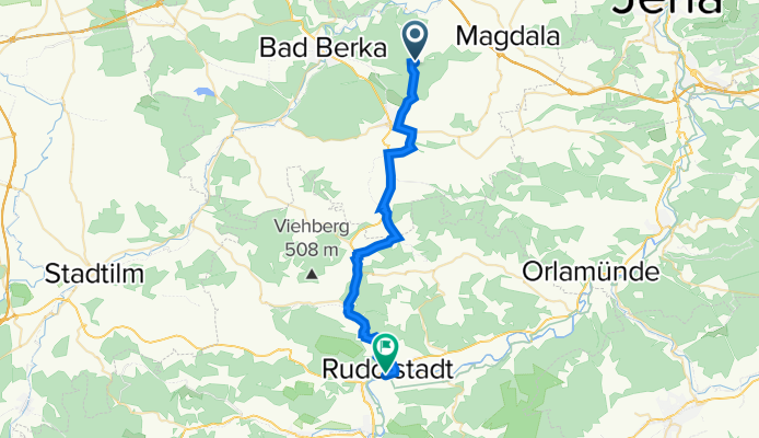
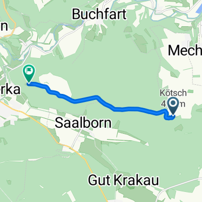
Kiliansroda to Platz der Opfer des Faschismus 2, Rudolstadt
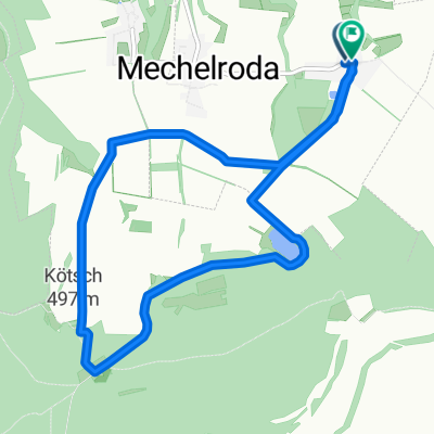
A cycling route starting in Mechelroda, Free State of Thuringia, Germany.
Overview
About this route
- 2 h
- Duration
- 28.5 km
- Distance
- 281 m
- Ascent
- 585 m
- Descent
- 14.2 km/h
- Avg. speed
- 498 m
- Max. altitude
Route quality
Waytypes & surfaces along the route
Waytypes
Quiet road
9.4 km
(33 %)
Busy road
7.1 km
(25 %)
Surfaces
Paved
16.7 km
(59 %)
Unpaved
6.7 km
(23 %)
Asphalt
15.6 km
(55 %)
Gravel
4.4 km
(15 %)
Continue with Bikemap
Use, edit, or download this cycling route
You would like to ride Kiliansroda to Platz der Opfer des Faschismus 2, Rudolstadt or customize it for your own trip? Here is what you can do with this Bikemap route:
Free features
- Save this route as favorite or in collections
- Copy & plan your own version of this route
- Sync your route with Garmin or Wahoo
Premium features
Free trial for 3 days, or one-time payment. More about Bikemap Premium.
- Navigate this route on iOS & Android
- Export a GPX / KML file of this route
- Create your custom printout (try it for free)
- Download this route for offline navigation
Discover more Premium features.
Get Bikemap PremiumFrom our community
Other popular routes starting in Mechelroda
 Müllershausen 1, Blankenhain nach Ottstedter Straße 7, Magdala
- Distance
- 13.5 km
- Ascent
- 209 m
- Descent
- 392 m
- Location
- Mechelroda, Free State of Thuringia, Germany
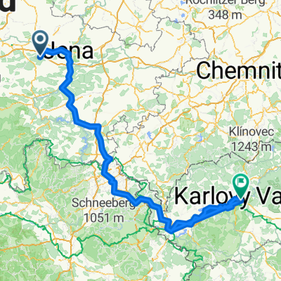
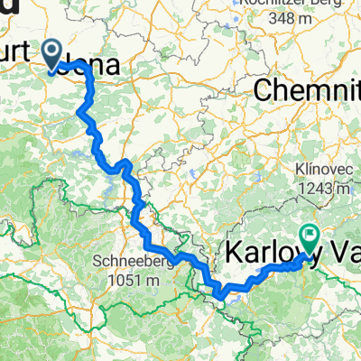 Kiliansroda-Karlsbad
- Distance
- 268.6 km
- Ascent
- 3,152 m
- Descent
- 3,079 m
- Location
- Mechelroda, Free State of Thuringia, Germany
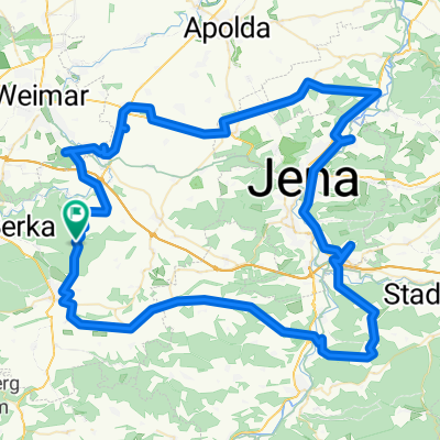 MTBO Weimarer Land 3.Platz Team Stroerenfried
- Distance
- 101.3 km
- Ascent
- 933 m
- Descent
- 933 m
- Location
- Mechelroda, Free State of Thuringia, Germany
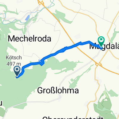
 Kiliansroda nach Ottstedter Straße 7, Magdala
- Distance
- 12.4 km
- Ascent
- 50 m
- Descent
- 270 m
- Location
- Mechelroda, Free State of Thuringia, Germany
 Einfache Fahrt in Bad Berka
- Distance
- 5.1 km
- Ascent
- 28 m
- Descent
- 120 m
- Location
- Mechelroda, Free State of Thuringia, Germany
 Kiliansroda-Karlsbad
- Distance
- 314.2 km
- Ascent
- 3,352 m
- Descent
- 3,252 m
- Location
- Mechelroda, Free State of Thuringia, Germany
 sonntagswanderrunde
- Distance
- 8.6 km
- Ascent
- 191 m
- Descent
- 189 m
- Location
- Mechelroda, Free State of Thuringia, Germany
 Im Dorfe 27, Mechelroda nach Tannrodaer Straße 4, Bad Berka
- Distance
- 10.1 km
- Ascent
- 136 m
- Descent
- 210 m
- Location
- Mechelroda, Free State of Thuringia, Germany
Open it in the app