
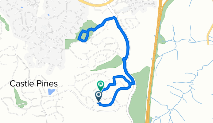
6373 Rockingham Ct, Castle Pines to 6610 to Kenzie Cir, Castle Pines
A cycling route starting in Castle Pines, Colorado, United States of America.
Overview
About this route
- 26 min
- Duration
- 5.5 km
- Distance
- 96 m
- Ascent
- 109 m
- Descent
- 12.4 km/h
- Avg. speed
- 1,993 m
- Max. altitude
Continue with Bikemap
Use, edit, or download this cycling route
You would like to ride 6373 Rockingham Ct, Castle Pines to 6610 to Kenzie Cir, Castle Pines or customize it for your own trip? Here is what you can do with this Bikemap route:
Free features
- Save this route as favorite or in collections
- Copy & plan your own version of this route
- Sync your route with Garmin or Wahoo
Premium features
Free trial for 3 days, or one-time payment. More about Bikemap Premium.
- Navigate this route on iOS & Android
- Export a GPX / KML file of this route
- Create your custom printout (try it for free)
- Download this route for offline navigation
Discover more Premium features.
Get Bikemap PremiumFrom our community
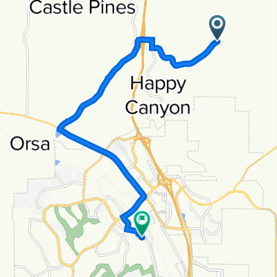
Other popular routes starting in Castle Pines
 Coyote Ridge Ride
- Distance
- 3.7 km
- Ascent
- 33 m
- Descent
- 82 m
- Location
- Castle Pines, Colorado, United States of America
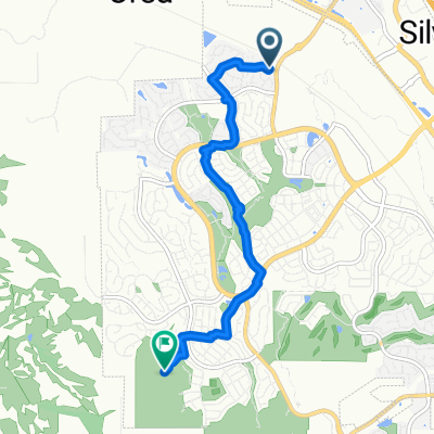
 1802–1898 Outter Marker Rd, Castle Rock to 1334 Sky Rock Way, Castle Rock
- Distance
- 11.7 km
- Ascent
- 95 m
- Descent
- 188 m
- Location
- Castle Pines, Colorado, United States of America
 next 1
- Distance
- 22.9 km
- Ascent
- 235 m
- Descent
- 253 m
- Location
- Castle Pines, Colorado, United States of America
 next 3
- Distance
- 22.5 km
- Ascent
- 674 m
- Descent
- 327 m
- Location
- Castle Pines, Colorado, United States of America
 2507 Tournament Dr, Castle Rock to 2507 Tournament Dr, Castle Rock
- Distance
- 7 km
- Ascent
- 142 m
- Descent
- 144 m
- Location
- Castle Pines, Colorado, United States of America
 Plum Creek Trail
- Distance
- 11.6 km
- Ascent
- 99 m
- Descent
- 20 m
- Location
- Castle Pines, Colorado, United States of America
 Home to Native Legend Trailhead
- Distance
- 6.1 km
- Ascent
- 145 m
- Descent
- 26 m
- Location
- Castle Pines, Colorado, United States of America
 Recovered Route
- Distance
- 4.6 km
- Ascent
- 108 m
- Descent
- 11 m
- Location
- Castle Pines, Colorado, United States of America
Open it in the app