Hřebenovka Nízké Tatry & Velká Fatra - Den 1. - Turčianské Teplice - Kralova studna (pěšky)
- 57 km
- 2,414 m
- 1,551 m
- Handlová, Nitra Region, Slovakia
A cycling route starting in Handlová, Nitra Region, Slovakia.
Overview
created this 14 years ago
Route quality
Quiet road
17.2 km
(43 %)
Road
12.4 km
(31 %)
Paved
18 km
(45 %)
Unpaved
8 km
(20 %)
Asphalt
18 km
(45 %)
Unpaved (undefined)
6.8 km
(17 %)
Route highlights


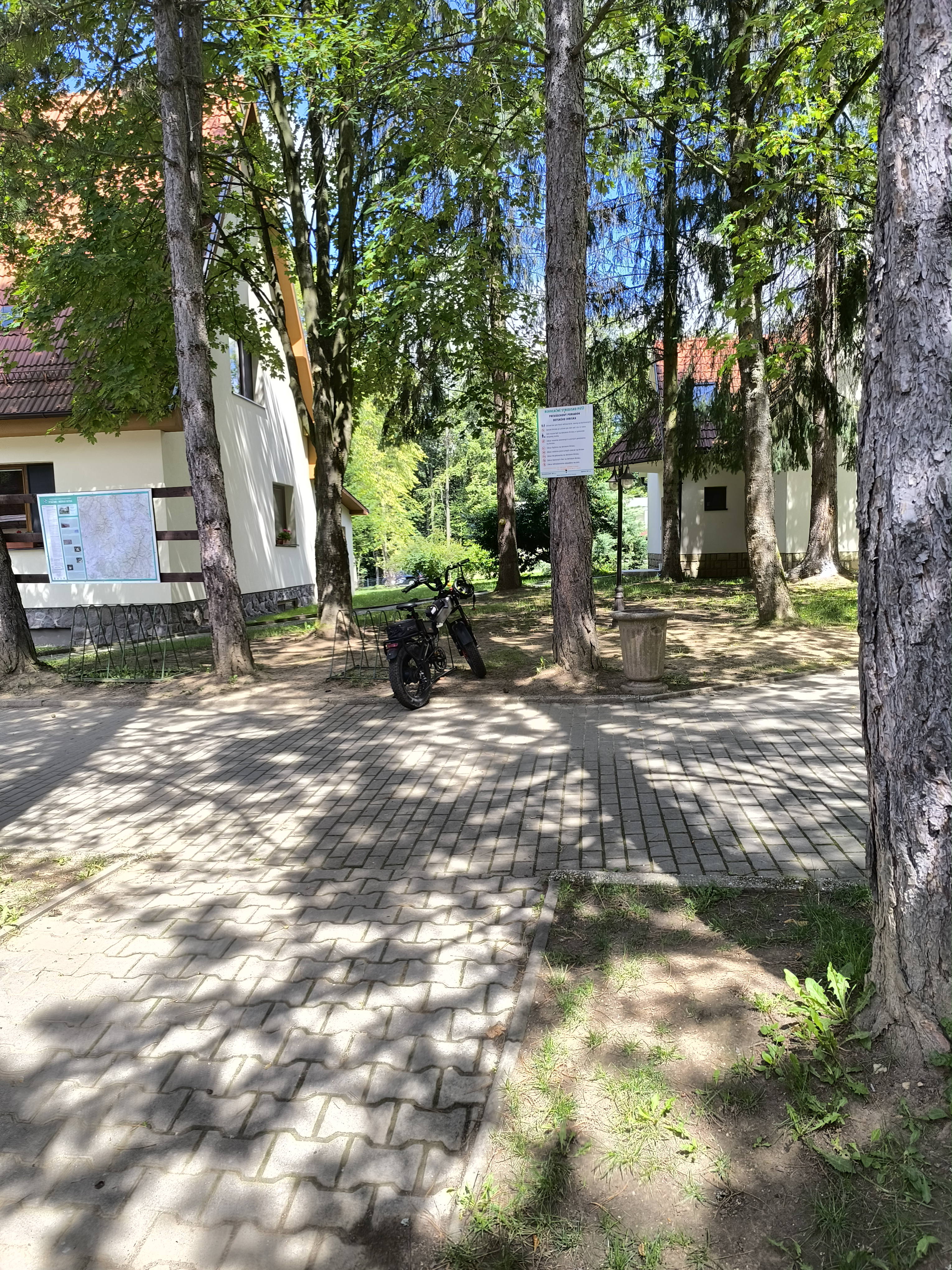
Vjazd do obce Brieštie

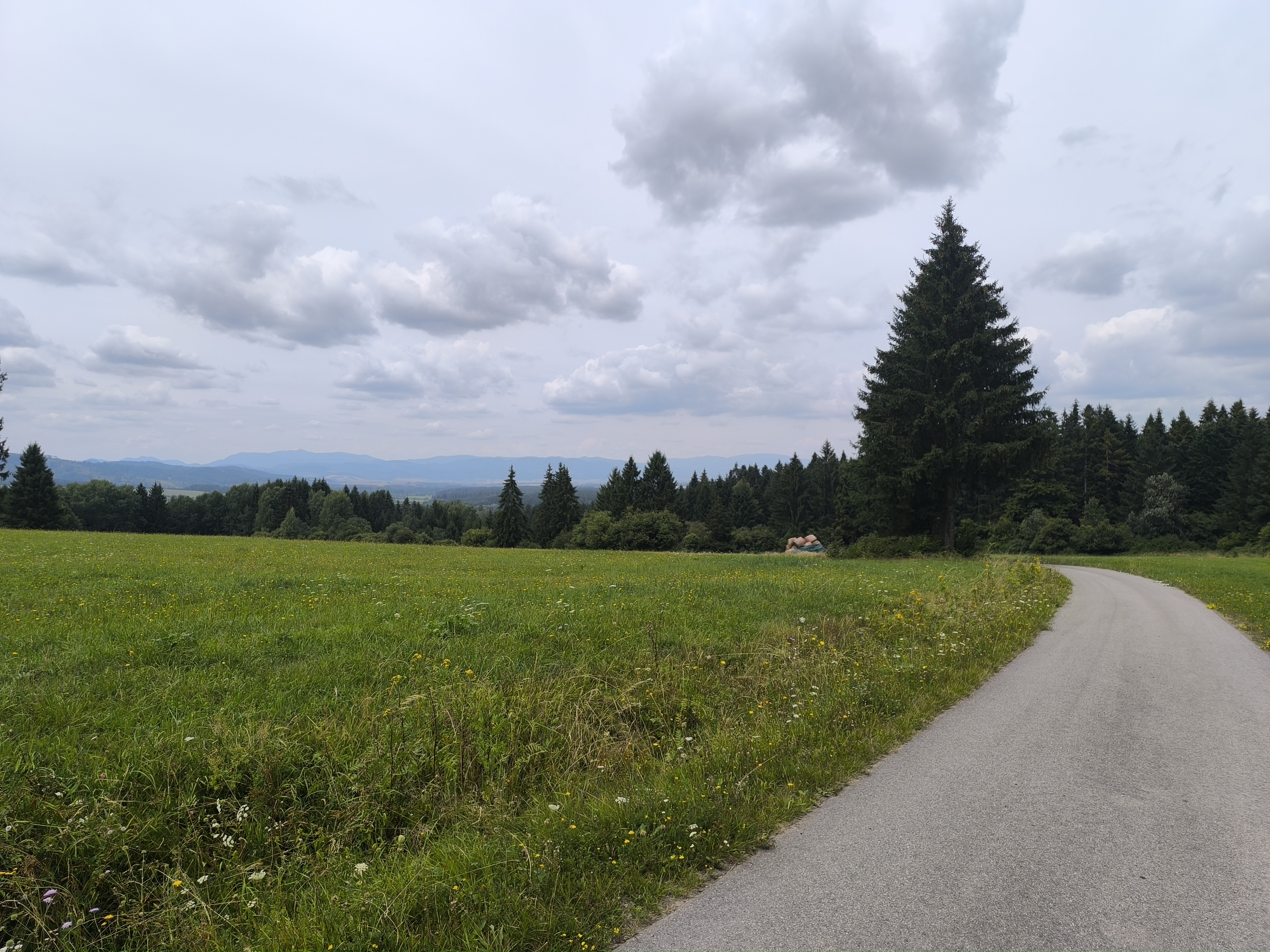
Cesta Brieštie - Hadviga

Cesta Brieštie - Hadviga


Continue with Bikemap
You would like to ride Turčianske Teplice - Brieštie or customize it for your own trip? Here is what you can do with this Bikemap route:
Free trial for 3 days, or one-time payment. More about Bikemap Premium.
Discover more Premium features.
Get Bikemap PremiumFrom our community
Open it in the app