

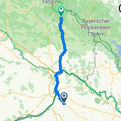
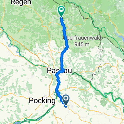
48.327° N 13.598° W nach 48.325° N 13.602° W
A cycling route starting in Sankt Marienkirchen bei Schärding, Upper Austria, Austria.
Overview
About this route
- 51 min
- Duration
- 19.6 km
- Distance
- 140 m
- Ascent
- 140 m
- Descent
- 22.9 km/h
- Avg. speed
- 397 m
- Max. altitude
Route quality
Waytypes & surfaces along the route
Waytypes
Quiet road
13.1 km
(67 %)
Road
5.7 km
(29 %)
Surfaces
Unpaved
1.2 km
(6 %)
Unpaved (undefined)
1.2 km
(6 %)
Undefined
18.4 km
(94 %)
Continue with Bikemap
Use, edit, or download this cycling route
You would like to ride 48.327° N 13.598° W nach 48.325° N 13.602° W or customize it for your own trip? Here is what you can do with this Bikemap route:
Free features
- Save this route as favorite or in collections
- Copy & plan your own version of this route
- Sync your route with Garmin or Wahoo
Premium features
Free trial for 3 days, or one-time payment. More about Bikemap Premium.
- Navigate this route on iOS & Android
- Export a GPX / KML file of this route
- Create your custom printout (try it for free)
- Download this route for offline navigation
Discover more Premium features.
Get Bikemap PremiumFrom our community
Other popular routes starting in Sankt Marienkirchen bei Schärding
 Peti&Zoli
- Distance
- 22.3 km
- Ascent
- 564 m
- Descent
- 566 m
- Location
- Sankt Marienkirchen bei Schärding, Upper Austria, Austria
 Würding Aigen am Inn
- Distance
- 41.3 km
- Ascent
- 68 m
- Descent
- 68 m
- Location
- Sankt Marienkirchen bei Schärding, Upper Austria, Austria
 Ranseredt,nach Lusenstraße, Neuschönau
- Distance
- 82.2 km
- Ascent
- 1,838 m
- Descent
- 1,094 m
- Location
- Sankt Marienkirchen bei Schärding, Upper Austria, Austria
 Ranseredt,nach Lusenstraße, Neuschönau
- Distance
- 76.1 km
- Ascent
- 1,495 m
- Descent
- 1,094 m
- Location
- Sankt Marienkirchen bei Schärding, Upper Austria, Austria
 H 24, 4774 - Schardenberg - H 24
- Distance
- 47.1 km
- Ascent
- 585 m
- Descent
- 565 m
- Location
- Sankt Marienkirchen bei Schärding, Upper Austria, Austria
 ¿øtˇ? nach ¿øtˇ?
- Distance
- 30.2 km
- Ascent
- 509 m
- Descent
- 505 m
- Location
- Sankt Marienkirchen bei Schärding, Upper Austria, Austria
 4774 Bründlkapelle
- Distance
- 17.6 km
- Ascent
- 191 m
- Descent
- 194 m
- Location
- Sankt Marienkirchen bei Schärding, Upper Austria, Austria
 Münsteuer_St.Georgen b.Obernb._Polling_Kirchheim i.Innk._St.Martin_Ort_Münsteuer
- Distance
- 50.6 km
- Ascent
- 260 m
- Descent
- 261 m
- Location
- Sankt Marienkirchen bei Schärding, Upper Austria, Austria
Open it in the app