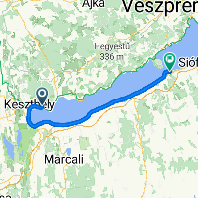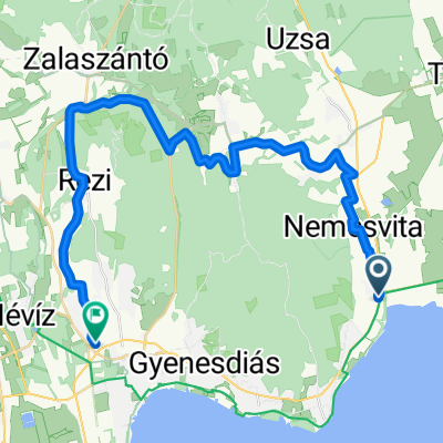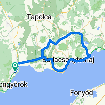
Eresztényi út, Balatongyörök - Eresztényi út, Balatongyörök
- 36.4 km
- 229 m
- 231 m
- Vonyarcvashegy, Zala County, Hungary
A cycling route starting in Vonyarcvashegy, Zala County, Hungary.
Overview
created this 14 years ago
Route quality
Cycleway
15.2 km
(58 %)
Quiet road
6.3 km
(24 %)
Paved
23.9 km
(91 %)
Unpaved
1 km
(4 %)
Asphalt
23.9 km
(91 %)
Gravel
0.8 km
(3 %)
Route highlights

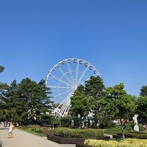
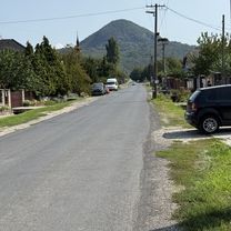
Visszaérkezés

Laura a HŐS!!!

Indulás után a Csapat

Fagyizó helyünk

Csillagvári hinta

Csillagvár
Continue with Bikemap
You would like to ride Balatongyörök - Balatonszentgyörgy csapattal or customize it for your own trip? Here is what you can do with this Bikemap route:
Free trial for 3 days, or one-time payment. More about Bikemap Premium.
Discover more Premium features.
Get Bikemap PremiumFrom our community
Open it in the app