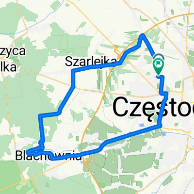
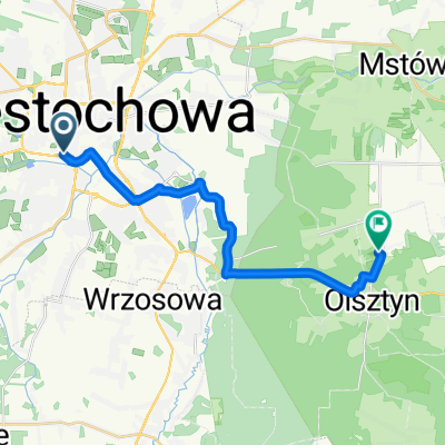
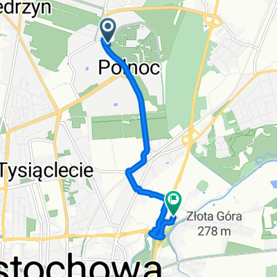
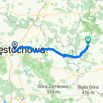
Szlak Orlich Gniazd cz.I
A cycling route starting in Częstochowa, Silesian Voivodeship, Poland.
Overview
About this route
- -:--
- Duration
- 91.5 km
- Distance
- 865 m
- Ascent
- 756 m
- Descent
- ---
- Avg. speed
- 440 m
- Avg. speed
Route quality
Waytypes & surfaces along the route
Waytypes
Quiet road
24.9 km
(27 %)
Road
18.1 km
(20 %)
Surfaces
Paved
54.7 km
(60 %)
Unpaved
13.4 km
(15 %)
Asphalt
43.2 km
(47 %)
Paving stones
5.8 km
(6 %)
Continue with Bikemap
Use, edit, or download this cycling route
You would like to ride Szlak Orlich Gniazd cz.I or customize it for your own trip? Here is what you can do with this Bikemap route:
Free features
- Save this route as favorite or in collections
- Copy & plan your own version of this route
- Sync your route with Garmin or Wahoo
Premium features
Free trial for 3 days, or one-time payment. More about Bikemap Premium.
- Navigate this route on iOS & Android
- Export a GPX / KML file of this route
- Create your custom printout (try it for free)
- Download this route for offline navigation
Discover more Premium features.
Get Bikemap PremiumFrom our community
Other popular routes starting in Częstochowa
- Częstochowa-Przewodziszowice-Złoty Potok-Częstochowa
- Distance
- 68.7 km
- Ascent
- 356 m
- Descent
- 356 m
- Location
- Częstochowa, Silesian Voivodeship, Poland
- Częstochowa - Blachownia Zalew - Lisiniec Pacyfik
- Distance
- 32.8 km
- Ascent
- 109 m
- Descent
- 112 m
- Location
- Częstochowa, Silesian Voivodeship, Poland
- SOGp
- Distance
- 157.2 km
- Ascent
- 586 m
- Descent
- 623 m
- Location
- Częstochowa, Silesian Voivodeship, Poland
- Jurajski Szlak Rowerowy Orlich Gniazd
- Distance
- 177.7 km
- Ascent
- 766 m
- Descent
- 798 m
- Location
- Częstochowa, Silesian Voivodeship, Poland
- Częstochowa - Folwark Kamyk - Częstochowa 26,2 km
- Distance
- 26.2 km
- Ascent
- 86 m
- Descent
- 86 m
- Location
- Częstochowa, Silesian Voivodeship, Poland
- Szlak Orlich Gniazd
- Distance
- 184.3 km
- Ascent
- 769 m
- Descent
- 812 m
- Location
- Częstochowa, Silesian Voivodeship, Poland
- Po Jurze
- Distance
- 59.2 km
- Ascent
- 221 m
- Descent
- 220 m
- Location
- Częstochowa, Silesian Voivodeship, Poland
- szlak orlich gniazd
- Distance
- 247 km
- Ascent
- 1,079 m
- Descent
- 1,122 m
- Location
- Częstochowa, Silesian Voivodeship, Poland
Open it in the app