

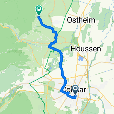
Ciclovacanza 2011 3° giorno Colmar-Strasburgo
A cycling route starting in Colmar, Grand Est, France.
Overview
About this route
Highlight day of the cycling holiday. With a wide tour in the wine-growing area north of Colmar, you reach the village of Kaiserberg, the first of a long series of fortified agricultural villages from the 14th and 15th centuries. Next come Kitzenhein, Riquewir, Ribeauville, Bergheim, and many others. All are arranged along hilly roads that climb even steeply up those hills. The effort to reach them is worth the destination. Each one is more beautiful and romantic than the last; equally fascinating, they make a special destination for those who love human landscapes. Drowned in the green of the vineyards, they are the main attraction of this corner of France.
The last in the series and the end of the wine hills is Obernai, from which our itinerary enters the agricultural plain that takes us to the city of Strasbourg.
You reach the center through a beautiful network of cycle paths that disappear into the green of the woods and along many waterways flowing towards the Rhine, characterizing the entire area. The city appears after a long but beautiful suburb. Here too, the quality of life is decidedly superior to that of our often ugly suburbs. We reach the pedestrianized center directly by bike.
- -:--
- Duration
- 105 km
- Distance
- 396 m
- Ascent
- 442 m
- Descent
- ---
- Avg. speed
- ---
- Max. altitude

Route quality
Waytypes & surfaces along the route
Waytypes
Quiet road
31.5 km
(30 %)
Cycleway
17.9 km
(17 %)
Surfaces
Paved
71.4 km
(68 %)
Unpaved
3.2 km
(3 %)
Asphalt
60.9 km
(58 %)
Paved (undefined)
10.5 km
(10 %)
Continue with Bikemap
Use, edit, or download this cycling route
You would like to ride Ciclovacanza 2011 3° giorno Colmar-Strasburgo or customize it for your own trip? Here is what you can do with this Bikemap route:
Free features
- Save this route as favorite or in collections
- Copy & plan your own version of this route
- Split it into stages to create a multi-day tour
- Sync your route with Garmin or Wahoo
Premium features
Free trial for 3 days, or one-time payment. More about Bikemap Premium.
- Navigate this route on iOS & Android
- Export a GPX / KML file of this route
- Create your custom printout (try it for free)
- Download this route for offline navigation
Discover more Premium features.
Get Bikemap PremiumFrom our community
Other popular routes starting in Colmar
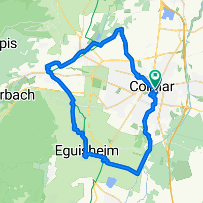
 Tag4 Colmar - Kaysersberg
- Distance
- 13 km
- Ascent
- 78 m
- Descent
- 13 m
- Location
- Colmar, Grand Est, France
 4. Sélestat - Strasbourg
- Distance
- 16.8 km
- Ascent
- 169 m
- Descent
- 55 m
- Location
- Colmar, Grand Est, France
 Rue Saint-Léon, Colmar à Rue Saint-Léon, Colmar
- Distance
- 59.8 km
- Ascent
- 132 m
- Descent
- 134 m
- Location
- Colmar, Grand Est, France
 Rue du Chasseur to Place Jeanne d'Arc
- Distance
- 28.7 km
- Ascent
- 107 m
- Descent
- 108 m
- Location
- Colmar, Grand Est, France
 Classique des Vogés
- Distance
- 209.1 km
- Ascent
- 4,428 m
- Descent
- 3,601 m
- Location
- Colmar, Grand Est, France
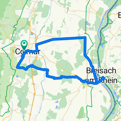
 Etappe 14 Tour de France 2009 von Colmar nach Besançon
- Distance
- 202.5 km
- Ascent
- 1,131 m
- Descent
- 1,003 m
- Location
- Colmar, Grand Est, France
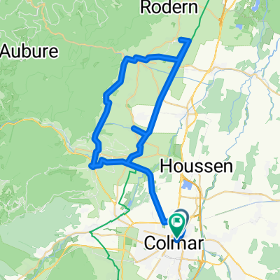
 Golmar
- Distance
- 48.2 km
- Ascent
- 684 m
- Descent
- 685 m
- Location
- Colmar, Grand Est, France
 Route nach Colmar
- Distance
- 47 km
- Ascent
- 370 m
- Descent
- 365 m
- Location
- Colmar, Grand Est, France
Open it in the app