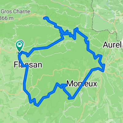
D 138, Crillon-le-Brave à Rue de la Porte Gérain, Crillon-le-Brave
- 28.6 km
- 336 m
- 315 m
- Bédoin, Provence-Alpes-Côte d'Azur Region, France
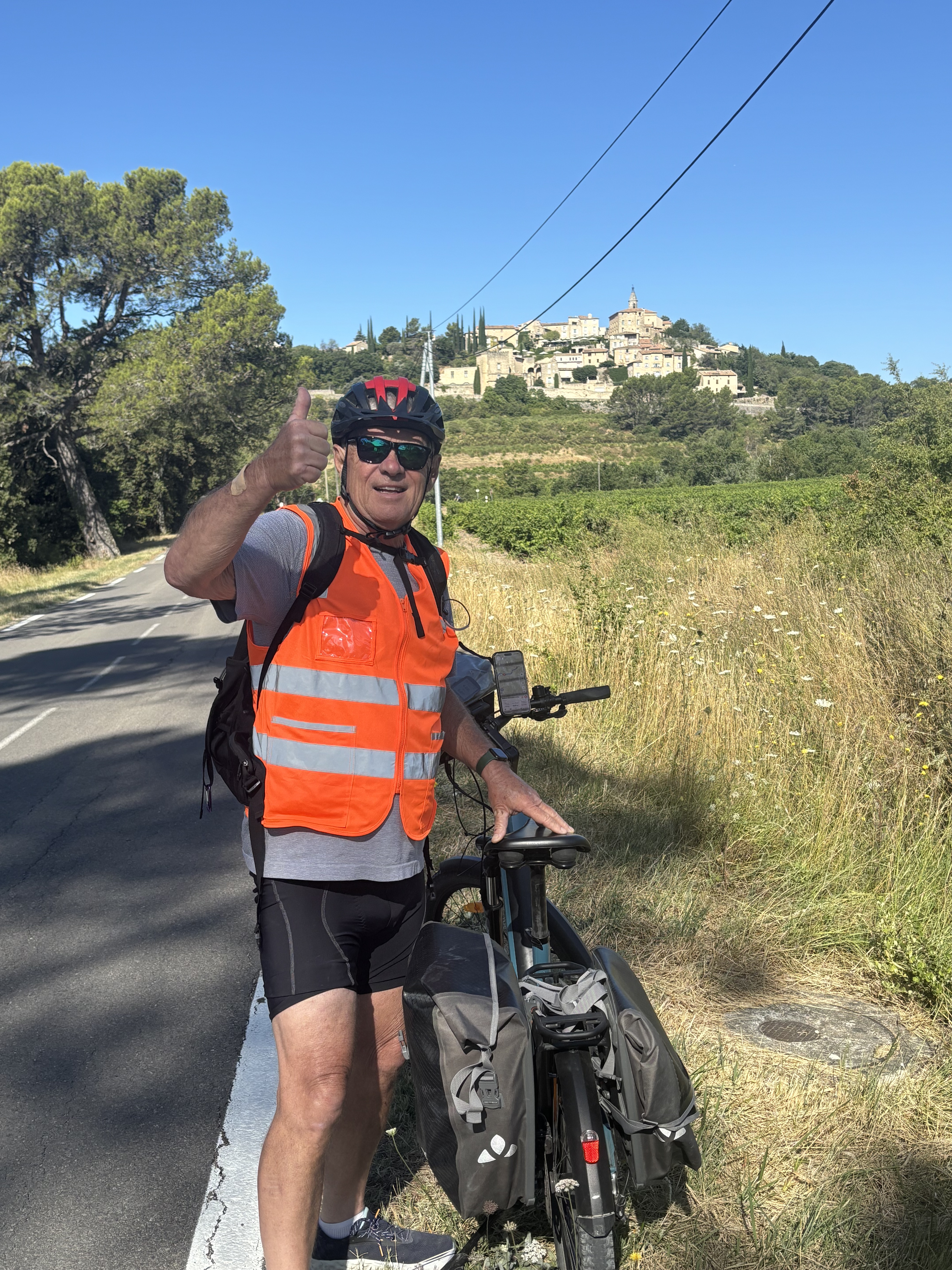
A cycling route starting in Bédoin, Provence-Alpes-Côte d'Azur Region, France.
Overview
created this 14 years ago
Route quality
Path
0.6 km
(3 %)
Quiet road
0.4 km
(2 %)
Paved
20.2 km
(96 %)
Unpaved
0.2 km
(1 %)
Asphalt
20.2 km
(96 %)
Gravel
0.2 km
(1 %)
Undefined
0.6 km
(3 %)
Route highlights
Start
Continue with Bikemap
You would like to ride Mount Ventoux von Bedoin or customize it for your own trip? Here is what you can do with this Bikemap route:
Free trial for 3 days, or one-time payment. More about Bikemap Premium.
Discover more Premium features.
Get Bikemap PremiumFrom our community
Open it in the app