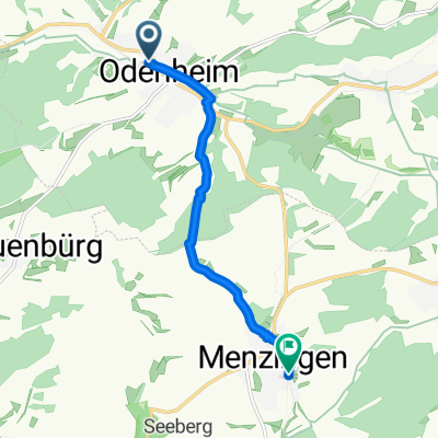
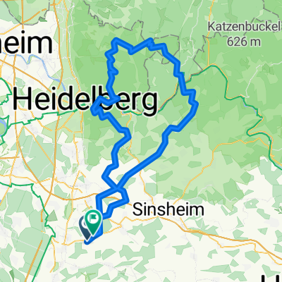
Östringen-Odenwald
A cycling route starting in Östringen, Baden-Wurttemberg, Germany.
Overview
About this route
4 Water stations
- At km 47 halfway to Wilhelmsfeld (parking)
- at km 62 on the descent towards Heddesbach
- at km 70 when you reach the federal road towards Hirsch on the right side.
- at km 87 from Haag to Aglasterhausen (right on the road, there is a parking lot across)
- -:--
- Duration
- 121.9 km
- Distance
- 2,924 m
- Ascent
- 2,910 m
- Descent
- ---
- Avg. speed
- 563 m
- Max. altitude
Route quality
Waytypes & surfaces along the route
Waytypes
Road
50 km
(41 %)
Quiet road
15.8 km
(13 %)
Surfaces
Paved
107.3 km
(88 %)
Unpaved
2.4 km
(2 %)
Asphalt
107.3 km
(88 %)
Gravel
2.4 km
(2 %)
Undefined
12.2 km
(10 %)
Continue with Bikemap
Use, edit, or download this cycling route
You would like to ride Östringen-Odenwald or customize it for your own trip? Here is what you can do with this Bikemap route:
Free features
- Save this route as favorite or in collections
- Copy & plan your own version of this route
- Split it into stages to create a multi-day tour
- Sync your route with Garmin or Wahoo
Premium features
Free trial for 3 days, or one-time payment. More about Bikemap Premium.
- Navigate this route on iOS & Android
- Export a GPX / KML file of this route
- Create your custom printout (try it for free)
- Download this route for offline navigation
Discover more Premium features.
Get Bikemap PremiumFrom our community
Other popular routes starting in Östringen
- Kraichgau, kurz und knackig
- Distance
- 31.8 km
- Ascent
- 325 m
- Descent
- 324 m
- Location
- Östringen, Baden-Wurttemberg, Germany
- Following Kraichgau Challenge
- Distance
- 69.9 km
- Ascent
- 1,025 m
- Descent
- 1,000 m
- Location
- Östringen, Baden-Wurttemberg, Germany
- Kraichgau-Stromberg
- Distance
- 93.2 km
- Ascent
- 873 m
- Descent
- 873 m
- Location
- Östringen, Baden-Wurttemberg, Germany
- Alternativroute Bad Schönborn Rülzheim
- Distance
- 38.5 km
- Ascent
- 57 m
- Descent
- 74 m
- Location
- Östringen, Baden-Wurttemberg, Germany
- Kraichgaurunde
- Distance
- 31.6 km
- Ascent
- 373 m
- Descent
- 335 m
- Location
- Östringen, Baden-Wurttemberg, Germany
- Stadtbahnwanderweg Kraichtal-Menzingen - Östringen-Odenheim
- Distance
- 6.4 km
- Ascent
- 105 m
- Descent
- 75 m
- Location
- Östringen, Baden-Wurttemberg, Germany
- Östringen Sinsheim Tiefenbach Odenheim Östringen
- Distance
- 42.7 km
- Ascent
- 637 m
- Descent
- 637 m
- Location
- Östringen, Baden-Wurttemberg, Germany
- Östringen-Allensbach
- Distance
- 251.1 km
- Ascent
- 1,469 m
- Descent
- 1,200 m
- Location
- Östringen, Baden-Wurttemberg, Germany
Open it in the app