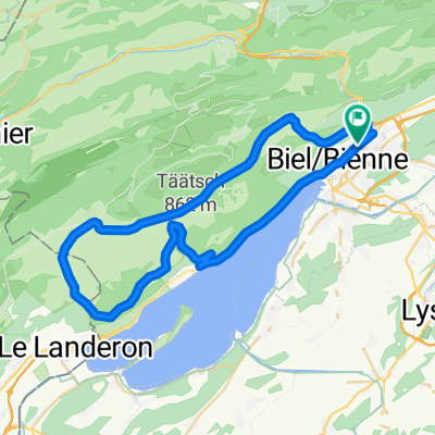
AlBienne 2011 Stage 1: Biel - Lignieres
A cycling route starting in Biel/Bienne, Canton of Bern, Switzerland.
Overview
About this route
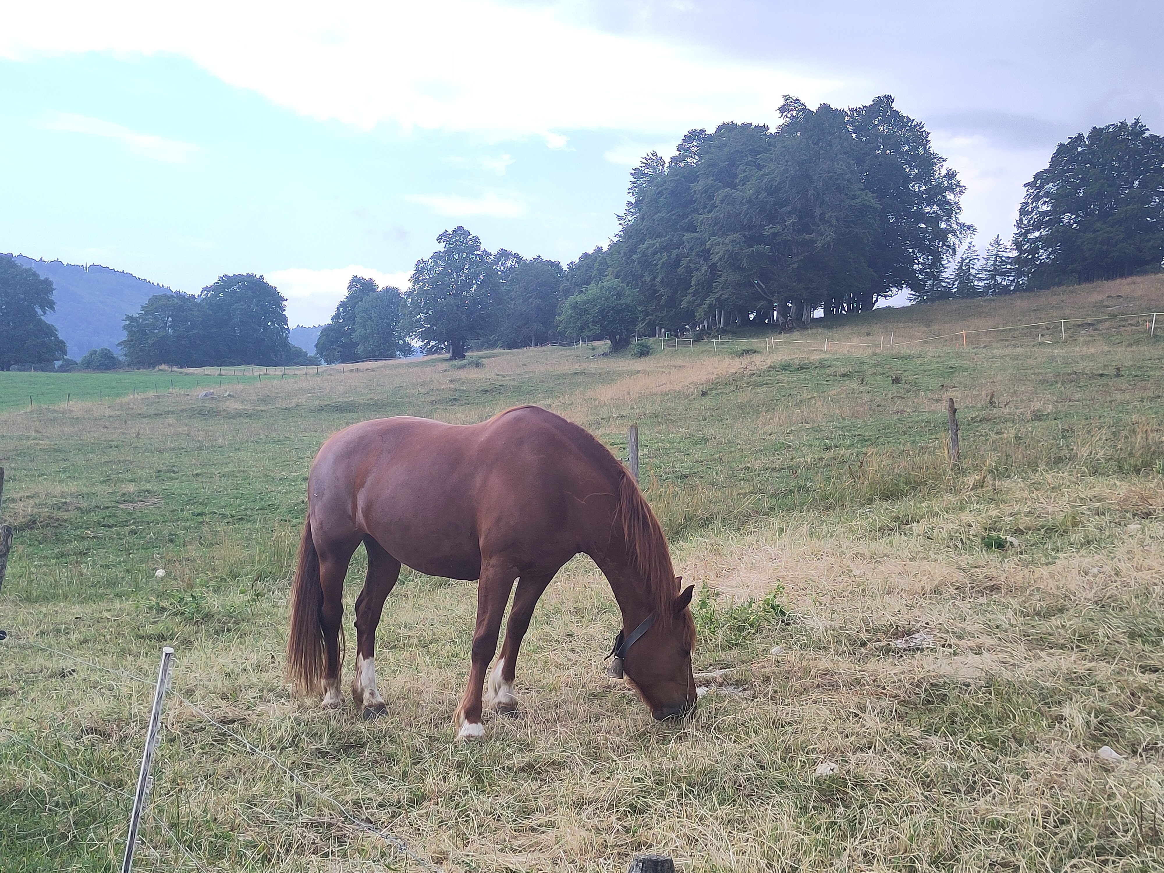
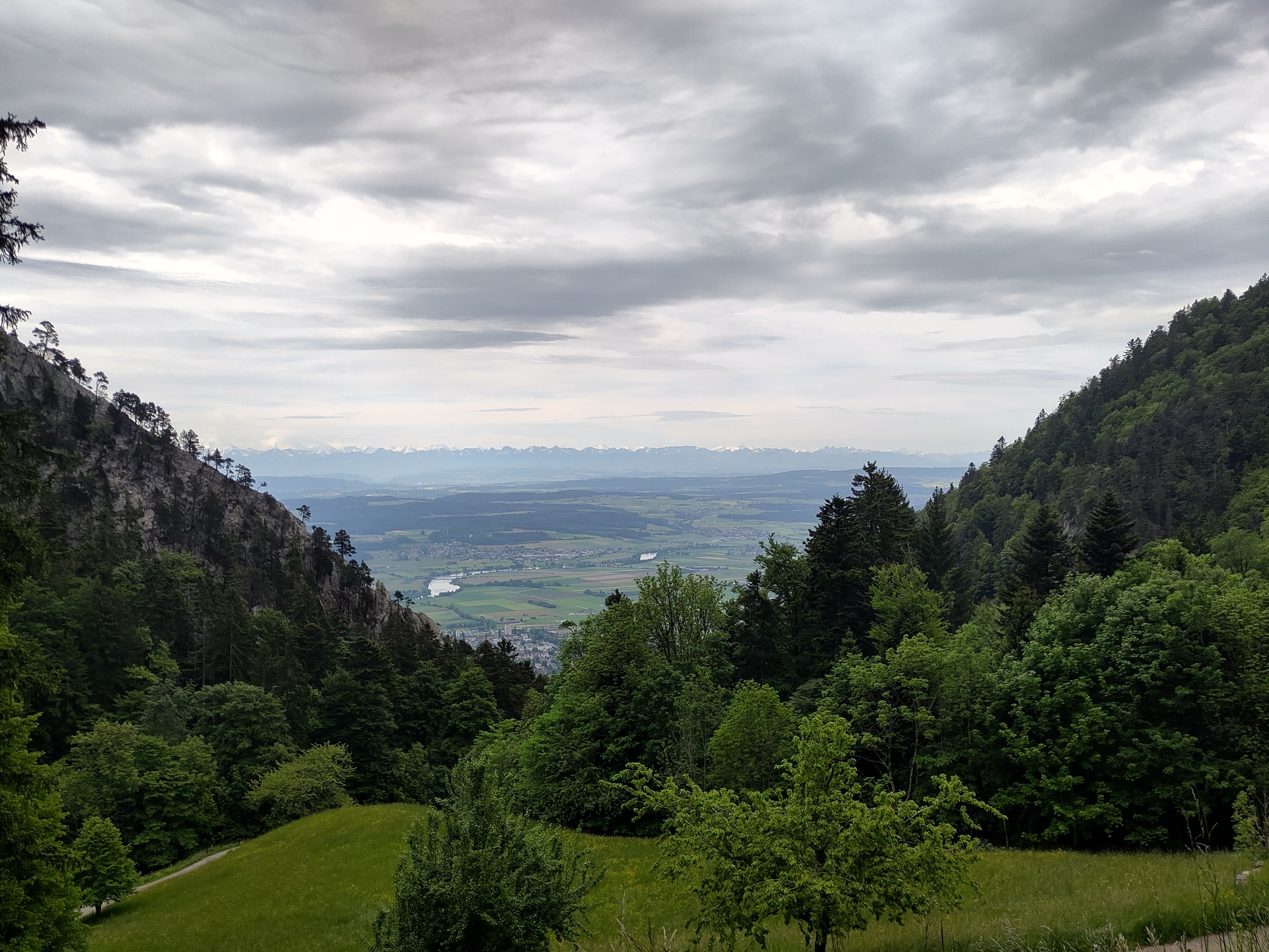
One decent climb from Twann through the Schlucht to Lamboing - a cafe at the end.
To camping with a view on the Chasseral.
- -:--
- Duration
- 47 km
- Distance
- 578 m
- Ascent
- 228 m
- Descent
- ---
- Avg. speed
- ---
- Max. altitude
Route quality
Waytypes & surfaces along the route
Waytypes
Quiet road
19.7 km
(42 %)
Road
11.8 km
(25 %)
Surfaces
Paved
29.1 km
(62 %)
Unpaved
6.7 km
(14 %)
Asphalt
25.2 km
(54 %)
Loose gravel
4.8 km
(10 %)
Continue with Bikemap
Use, edit, or download this cycling route
You would like to ride AlBienne 2011 Stage 1: Biel - Lignieres or customize it for your own trip? Here is what you can do with this Bikemap route:
Free features
- Save this route as favorite or in collections
- Copy & plan your own version of this route
- Sync your route with Garmin or Wahoo
Premium features
Free trial for 3 days, or one-time payment. More about Bikemap Premium.
- Navigate this route on iOS & Android
- Export a GPX / KML file of this route
- Create your custom printout (try it for free)
- Download this route for offline navigation
Discover more Premium features.
Get Bikemap PremiumFrom our community
Other popular routes starting in Biel/Bienne
- De Quai du Bas 1, Biel/Bienne à Quai du Bas 1, Biel/Bienne
- Distance
- 15.3 km
- Ascent
- 644 m
- Descent
- 647 m
- Location
- Biel/Bienne, Canton of Bern, Switzerland
- P-Biel/Grenchen/Plagne (31km)
- Distance
- 30.9 km
- Ascent
- 538 m
- Descent
- 536 m
- Location
- Biel/Bienne, Canton of Bern, Switzerland
- P-Biel/Aetigkofen (70km)
- Distance
- 70.4 km
- Ascent
- 753 m
- Descent
- 749 m
- Location
- Biel/Bienne, Canton of Bern, Switzerland
- 47°Nord Tour de Suisse Etappe 1
- Distance
- 91.5 km
- Ascent
- 225 m
- Descent
- 172 m
- Location
- Biel/Bienne, Canton of Bern, Switzerland
- Biel - Saisselin - Jobert - Biel
- Distance
- 38.5 km
- Ascent
- 1,292 m
- Descent
- 1,293 m
- Location
- Biel/Bienne, Canton of Bern, Switzerland
- P-BielerSee (77km)
- Distance
- 76.7 km
- Ascent
- 394 m
- Descent
- 395 m
- Location
- Biel/Bienne, Canton of Bern, Switzerland
- Biel-Gurnigel
- Distance
- 140.6 km
- Ascent
- 1,682 m
- Descent
- 1,681 m
- Location
- Biel/Bienne, Canton of Bern, Switzerland
- P-Biel/Aetigkofen (63km)
- Distance
- 63.4 km
- Ascent
- 490 m
- Descent
- 486 m
- Location
- Biel/Bienne, Canton of Bern, Switzerland
Open it in the app