Eiswoog, Göllheim, Donnersberg
- 117.2 km
- 1,156 m
- 1,156 m
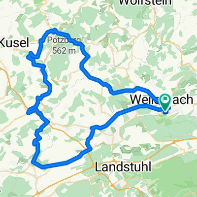
- Rodenbach, Rhineland-Palatinate, Germany
A cycling route starting in Rodenbach, Rhineland-Palatinate, Germany.
Overview
Over Mehlbach, Scneckenhausen goes to Imsweiler. Turn left from the B48 towards Imsbach. Through Langmeil and Winnweiler, it goes to the Leithöfen. A very scenic tour.
created this 14 years ago
Route quality
Road
5.8 km
(9 %)
Quiet road
3.2 km
(5 %)
Paved
51.8 km
(81 %)
Unpaved
1.9 km
(3 %)
Asphalt
51.8 km
(81 %)
Gravel
1.3 km
(2 %)
Continue with Bikemap
You would like to ride Tour zum Donnersberg - Imsbach or customize it for your own trip? Here is what you can do with this Bikemap route:
Free trial for 3 days, or one-time payment. More about Bikemap Premium.
Discover more Premium features.
Get Bikemap PremiumFrom our community
Open it in the app