
La Matalena
A cycling route starting in Santiurde de Toranzo, Cantabria, Spain.
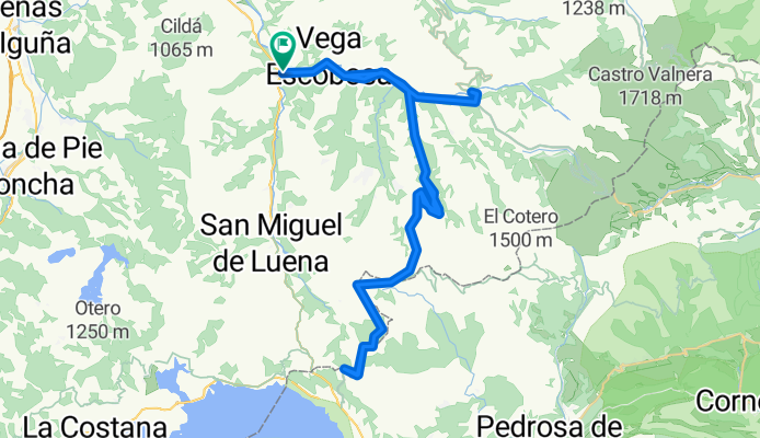
Overview
About this route
Climb to the Matalena pass from Entrambastamestas passing through Vega de Pas
- -:--
- Duration
- 66.9 km
- Distance
- 925 m
- Ascent
- 925 m
- Descent
- ---
- Avg. speed
- ---
- Max. altitude

Route quality
Waytypes & surfaces along the route
Waytypes
Road
43.5 km
(65 %)
Quiet road
0.7 km
(1 %)
Undefined
22.8 km
(34 %)
Surfaces
Paved
13.4 km
(20 %)
Asphalt
13.4 km
(20 %)
Undefined
53.5 km
(80 %)
Continue with Bikemap
Use, edit, or download this cycling route
You would like to ride La Matalena or customize it for your own trip? Here is what you can do with this Bikemap route:
Free features
- Save this route as favorite or in collections
- Copy & plan your own version of this route
- Sync your route with Garmin or Wahoo
Premium features
Free trial for 3 days, or one-time payment. More about Bikemap Premium.
- Navigate this route on iOS & Android
- Export a GPX / KML file of this route
- Create your custom printout (try it for free)
- Download this route for offline navigation
Discover more Premium features.
Get Bikemap PremiumFrom our community
Other popular routes starting in Santiurde de Toranzo
 La Matanela y el Escudo desde Corvera
- Distance
- 75.7 km
- Ascent
- 1,144 m
- Descent
- 1,144 m
- Location
- Santiurde de Toranzo, Cantabria, Spain
 Abionzo-Llerana-Esles desde Corvera
- Distance
- 51 km
- Ascent
- 629 m
- Descent
- 629 m
- Location
- Santiurde de Toranzo, Cantabria, Spain
 Los Puertos Pasiegos desde Corvera
- Distance
- 102.7 km
- Ascent
- 1,818 m
- Descent
- 1,818 m
- Location
- Santiurde de Toranzo, Cantabria, Spain
 Vuelta del Caracol y Lierganes desde Corvera
- Distance
- 82.4 km
- Ascent
- 1,079 m
- Descent
- 1,079 m
- Location
- Santiurde de Toranzo, Cantabria, Spain
 Portillón y Alto de Hijas desde Corvera
- Distance
- 48.4 km
- Ascent
- 829 m
- Descent
- 829 m
- Location
- Santiurde de Toranzo, Cantabria, Spain
 vv pas ago 2016
- Distance
- 34.6 km
- Ascent
- 101 m
- Descent
- 258 m
- Location
- Santiurde de Toranzo, Cantabria, Spain
 Ruta de La Braguía desde Corvera
- Distance
- 56 km
- Ascent
- 819 m
- Descent
- 819 m
- Location
- Santiurde de Toranzo, Cantabria, Spain
 Estacas de Trueba (desde Entrambasmestas)
- Distance
- 24.9 km
- Ascent
- 1,089 m
- Descent
- 166 m
- Location
- Santiurde de Toranzo, Cantabria, Spain
Open it in the app