
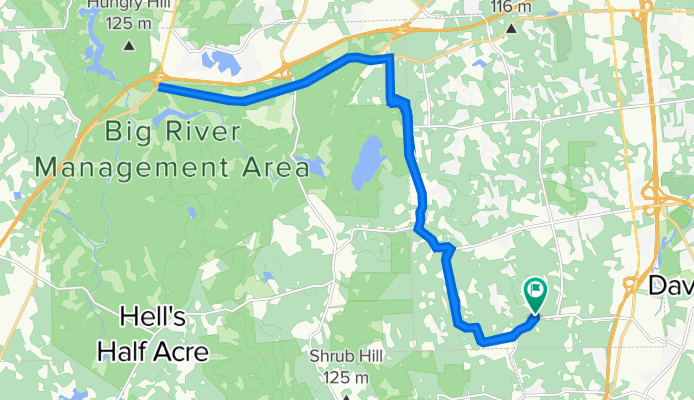
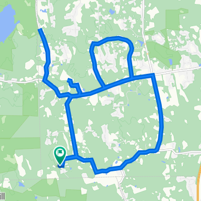
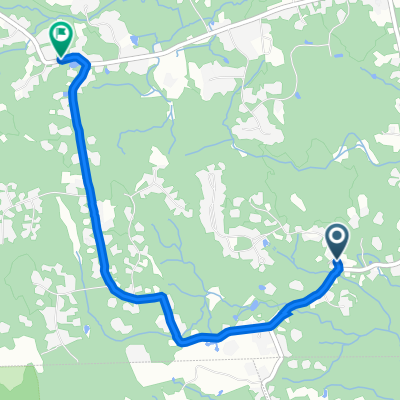
325 Shady Hill Dr, East Greenwich to 1045 South Rd, East Greenwich
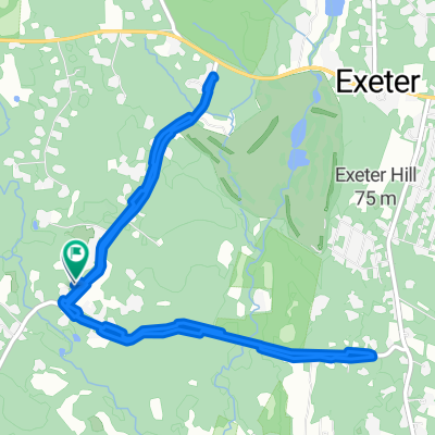
A cycling route starting in Exeter, Rhode Island, United States of America.
Overview
About this route
- 1 h 14 min
- Duration
- 27.4 km
- Distance
- 501 m
- Ascent
- 507 m
- Descent
- 22.3 km/h
- Avg. speed
- 146 m
- Avg. speed
Route quality
Waytypes & surfaces along the route
Waytypes
Road
26 km
(95 %)
Path
0.6 km
(2 %)
Surfaces
Paved
21 km
(77 %)
Unpaved
0.3 km
(1 %)
Paved (undefined)
14.3 km
(52 %)
Asphalt
6.7 km
(24 %)
Continue with Bikemap
Use, edit, or download this cycling route
You would like to ride 325 Shady Hill Dr, East Greenwich to 1045 South Rd, East Greenwich or customize it for your own trip? Here is what you can do with this Bikemap route:
Free features
- Save this route as favorite or in collections
- Copy & plan your own version of this route
- Sync your route with Garmin or Wahoo
Premium features
Free trial for 3 days, or one-time payment. More about Bikemap Premium.
- Navigate this route on iOS & Android
- Export a GPX / KML file of this route
- Create your custom printout (try it for free)
- Download this route for offline navigation
Discover more Premium features.
Get Bikemap PremiumFrom our community
Other popular routes starting in Exeter
 203 Purgatory Rd, Exeter to 203 Purgatory Rd, Exeter
- Distance
- 8.4 km
- Ascent
- 75 m
- Descent
- 73 m
- Location
- Exeter, Rhode Island, United States of America
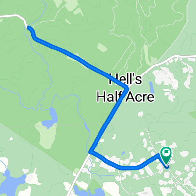
 25 Taggart Ct, East Greenwich to 379–467 Hopkins Hill Rd, West Greenwich
- Distance
- 7.3 km
- Ascent
- 78 m
- Descent
- 105 m
- Location
- Exeter, Rhode Island, United States of America
 352–398 Shady Hill Dr, East Greenwich to 1045 South Rd, East Greenwich
- Distance
- 26.3 km
- Ascent
- 357 m
- Descent
- 342 m
- Location
- Exeter, Rhode Island, United States of America
 25 Taggart Ct, East Greenwich to 25 Taggart Ct, East Greenwich
- Distance
- 18.9 km
- Ascent
- 167 m
- Descent
- 172 m
- Location
- Exeter, Rhode Island, United States of America
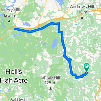
 325 Shady Hill Dr, East Greenwich to 1045 South Rd, East Greenwich
- Distance
- 27.4 km
- Ascent
- 501 m
- Descent
- 507 m
- Location
- Exeter, Rhode Island, United States of America
 bridge and back
- Distance
- 7.3 km
- Ascent
- 67 m
- Descent
- 68 m
- Location
- Exeter, Rhode Island, United States of America
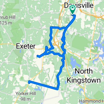 Route in North Kingstown
- Distance
- 31.1 km
- Ascent
- 190 m
- Descent
- 190 m
- Location
- Exeter, Rhode Island, United States of America
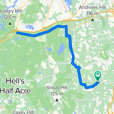
 352–398 Shady Hill Dr, East Greenwich to 2041 Frenchtown Rd, East Greenwich
- Distance
- 3.8 km
- Ascent
- 95 m
- Descent
- 84 m
- Location
- Exeter, Rhode Island, United States of America
Open it in the app