

Trier Clerf
A cycling route starting in Trier, Rhineland-Palatinate, Germany.
Overview
About this route
Eifeletappe
- -:--
- Duration
- 189.3 km
- Distance
- 4,304 m
- Ascent
- 4,091 m
- Descent
- ---
- Avg. speed
- 532 m
- Max. altitude
Route quality
Waytypes & surfaces along the route
Waytypes
Quiet road
49.2 km
(26 %)
Track
49.2 km
(26 %)
Surfaces
Paved
149.6 km
(79 %)
Unpaved
22.7 km
(12 %)
Asphalt
128.7 km
(68 %)
Paved (undefined)
18.9 km
(10 %)
Continue with Bikemap
Use, edit, or download this cycling route
You would like to ride Trier Clerf or customize it for your own trip? Here is what you can do with this Bikemap route:
Free features
- Save this route as favorite or in collections
- Copy & plan your own version of this route
- Split it into stages to create a multi-day tour
- Sync your route with Garmin or Wahoo
Premium features
Free trial for 3 days, or one-time payment. More about Bikemap Premium.
- Navigate this route on iOS & Android
- Export a GPX / KML file of this route
- Create your custom printout (try it for free)
- Download this route for offline navigation
Discover more Premium features.
Get Bikemap PremiumFrom our community
Other popular routes starting in Trier
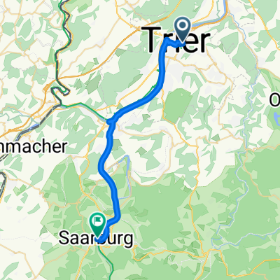 2. Etappe - Graf-Siegfried-Straße, Saarburg nach Heinertstraße, Mettlach
- Distance
- 24.3 km
- Ascent
- 166 m
- Descent
- 139 m
- Location
- Trier, Rhineland-Palatinate, Germany
 Bahnhofsplatz nach Domhof
- Distance
- 231.7 km
- Ascent
- 3,744 m
- Descent
- 3,707 m
- Location
- Trier, Rhineland-Palatinate, Germany
 Route in Trier
- Distance
- 36 km
- Ascent
- 927 m
- Descent
- 928 m
- Location
- Trier, Rhineland-Palatinate, Germany
 Trier Stadtrunde
- Distance
- 8 km
- Ascent
- 28 m
- Descent
- 29 m
- Location
- Trier, Rhineland-Palatinate, Germany
 2018 Trier - Luxemburg - Laon - Amiens - Caen - Le Mont-Saint-Michel - St.Malo - Brest - Nantes
- Distance
- 1,877.5 km
- Ascent
- 1,181 m
- Descent
- 1,299 m
- Location
- Trier, Rhineland-Palatinate, Germany
 Route in Trier
- Distance
- 68.8 km
- Ascent
- 1,264 m
- Descent
- 1,268 m
- Location
- Trier, Rhineland-Palatinate, Germany
 Tag6 Von Trier bis Bernkastel-Kues
- Distance
- 74.3 km
- Ascent
- 672 m
- Descent
- 691 m
- Location
- Trier, Rhineland-Palatinate, Germany
 Trier - Merzig
- Distance
- 57.3 km
- Ascent
- 324 m
- Descent
- 291 m
- Location
- Trier, Rhineland-Palatinate, Germany
Open it in the app