

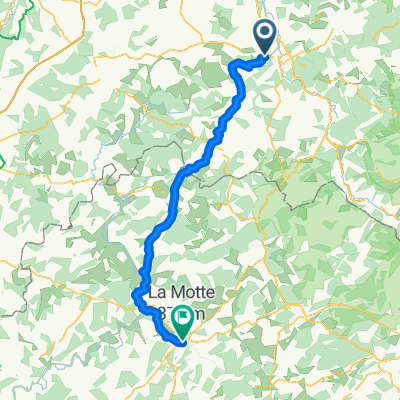
Les Forges à Urimenil
A cycling route starting in Les Forges, Grand Est, France.
Overview
About this route
- 1 h 1 min
- Duration
- 11 km
- Distance
- 184 m
- Ascent
- 167 m
- Descent
- 10.8 km/h
- Avg. speed
- 475 m
- Max. altitude
Route quality
Waytypes & surfaces along the route
Waytypes
Quiet road
7.9 km
(72 %)
Track
1 km
(9 %)
Surfaces
Paved
2.6 km
(24 %)
Unpaved
1.9 km
(17 %)
Asphalt
2.6 km
(24 %)
Ground
1.7 km
(15 %)
Continue with Bikemap
Use, edit, or download this cycling route
You would like to ride Les Forges à Urimenil or customize it for your own trip? Here is what you can do with this Bikemap route:
Free features
- Save this route as favorite or in collections
- Copy & plan your own version of this route
- Sync your route with Garmin or Wahoo
Premium features
Free trial for 3 days, or one-time payment. More about Bikemap Premium.
- Navigate this route on iOS & Android
- Export a GPX / KML file of this route
- Create your custom printout (try it for free)
- Download this route for offline navigation
Discover more Premium features.
Get Bikemap PremiumFrom our community
Other popular routes starting in Les Forges
 dur reprise 😂😂😂
- Distance
- 21.2 km
- Ascent
- 917 m
- Descent
- 918 m
- Location
- Les Forges, Grand Est, France
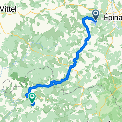
 Epinal- Vesoul (Hotel du Nord)
- Distance
- 97.6 km
- Ascent
- 750 m
- Descent
- 896 m
- Location
- Les Forges, Grand Est, France
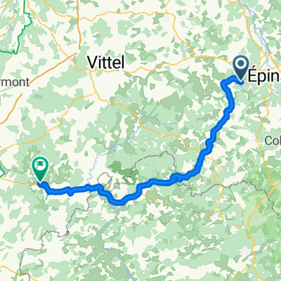
 Etappe 3
- Distance
- 93.9 km
- Ascent
- 649 m
- Descent
- 815 m
- Location
- Les Forges, Grand Est, France
 De Rue du Lac 19, Sanchey à Au Beau Désir, Chantraine
- Distance
- 5.9 km
- Ascent
- 59 m
- Descent
- 60 m
- Location
- Les Forges, Grand Est, France
 Woensdag Dag 6 21-07-2021 Sanchey - Gray Camping Longue Rive
- Distance
- 123.9 km
- Ascent
- 409 m
- Descent
- 591 m
- Location
- Les Forges, Grand Est, France
 Les Forges à Urimenil
- Distance
- 11 km
- Ascent
- 184 m
- Descent
- 167 m
- Location
- Les Forges, Grand Est, France
 dag6
dag6- Distance
- 79.2 km
- Ascent
- 155 m
- Descent
- 250 m
- Location
- Les Forges, Grand Est, France
Open it in the app