

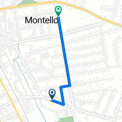
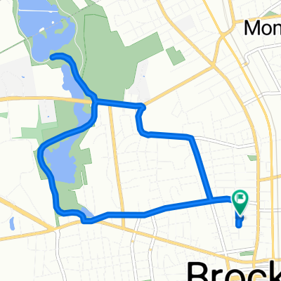
Brockton to Sharon Beach
A cycling route starting in Brockton, Massachusetts, United States.
Overview
About this route
- 48 min
- Duration
- 17.4 km
- Distance
- 142 m
- Ascent
- 96 m
- Descent
- 21.5 km/h
- Avg. speed
- 118 m
- Max. altitude
Route quality
Waytypes & surfaces along the route
Waytypes
Road
8.7 km
(50 %)
Quiet road
6.6 km
(38 %)
Surfaces
Paved
11.3 km
(65 %)
Unpaved
1.6 km
(9 %)
Asphalt
11.1 km
(64 %)
Unpaved (undefined)
1.6 km
(9 %)
Continue with Bikemap
Use, edit, or download this cycling route
You would like to ride Brockton to Sharon Beach or customize it for your own trip? Here is what you can do with this Bikemap route:
Free features
- Save this route as favorite or in collections
- Copy & plan your own version of this route
- Sync your route with Garmin or Wahoo
Premium features
Free trial for 3 days, or one-time payment. More about Bikemap Premium.
- Navigate this route on iOS & Android
- Export a GPX / KML file of this route
- Create your custom printout (try it for free)
- Download this route for offline navigation
Discover more Premium features.
Get Bikemap PremiumFrom our community
Other popular routes starting in Brockton
 Noanddi’s House
- Distance
- 1 km
- Ascent
- 20 m
- Descent
- 0 m
- Location
- Brockton, Massachusetts, United States
 Relaxed route in Brockton
- Distance
- 29.4 km
- Ascent
- 279 m
- Descent
- 274 m
- Location
- Brockton, Massachusetts, United States
 Stonehill Loop
- Distance
- 25 km
- Ascent
- 210 m
- Descent
- 196 m
- Location
- Brockton, Massachusetts, United States
 45 W Rosseter St, Brockton to 69 Turner St, Brockton
- Distance
- 8.3 km
- Ascent
- 73 m
- Descent
- 71 m
- Location
- Brockton, Massachusetts, United States
 795 Pleasant St, Brockton to 447 Central St, East Bridgewater
- Distance
- 13 km
- Ascent
- 61 m
- Descent
- 80 m
- Location
- Brockton, Massachusetts, United States
 Easton, MA
- Distance
- 32.9 km
- Ascent
- 147 m
- Descent
- 150 m
- Location
- Brockton, Massachusetts, United States
 67 Bradley Ave, Brockton to 61 Bradley Ave, Brockton
- Distance
- 20.6 km
- Ascent
- 20 m
- Descent
- 20 m
- Location
- Brockton, Massachusetts, United States
 42.092° N -71.057° W to 42.091° N -71.057° W
- Distance
- 22.5 km
- Ascent
- 153 m
- Descent
- 136 m
- Location
- Brockton, Massachusetts, United States
Open it in the app