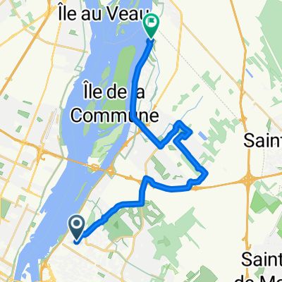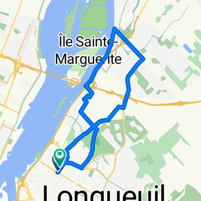
LBsecond
- 22.6 km
- 31 m
- 30 m
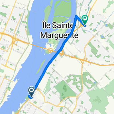
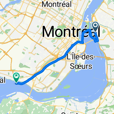
- Longueuil, Quebec, Canada
A cycling route starting in Longueuil, Quebec, Canada.
Overview
created this 3 years ago
Continue with Bikemap
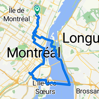
You would like to ride Île Notre-Dame / Île Saint-Hélène / Cité-du-Havre or customize it for your own trip? Here is what you can do with this Bikemap route:
Free trial for 3 days, or one-time payment. More about Bikemap Premium.
Discover more Premium features.
Get Bikemap PremiumFrom our community
Open it in the app