

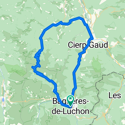
CIerp-Gaud Loop
A cycling route starting in Bagnères-de-Luchon, Occitanie, France.
Overview
About this route
Geoff's 40km / 2hr Workout
- -:--
- Duration
- 38.5 km
- Distance
- 255 m
- Ascent
- 252 m
- Descent
- ---
- Avg. speed
- 561 m
- Max. altitude

Route quality
Waytypes & surfaces along the route
Waytypes
Road
14.2 km
(37 %)
Quiet road
0.4 km
(1 %)
Surfaces
Paved
27.7 km
(72 %)
Asphalt
27.7 km
(72 %)
Undefined
10.8 km
(28 %)
Continue with Bikemap
Use, edit, or download this cycling route
You would like to ride CIerp-Gaud Loop or customize it for your own trip? Here is what you can do with this Bikemap route:
Free features
- Save this route as favorite or in collections
- Copy & plan your own version of this route
- Sync your route with Garmin or Wahoo
Premium features
Free trial for 3 days, or one-time payment. More about Bikemap Premium.
- Navigate this route on iOS & Android
- Export a GPX / KML file of this route
- Create your custom printout (try it for free)
- Download this route for offline navigation
Discover more Premium features.
Get Bikemap PremiumFrom our community
Other popular routes starting in Bagnères-de-Luchon
 Port de Bales
- Distance
- 69.3 km
- Ascent
- 1,395 m
- Descent
- 1,395 m
- Location
- Bagnères-de-Luchon, Occitanie, France
 Bonaigua
- Distance
- 144.8 km
- Ascent
- 2,316 m
- Descent
- 2,316 m
- Location
- Bagnères-de-Luchon, Occitanie, France
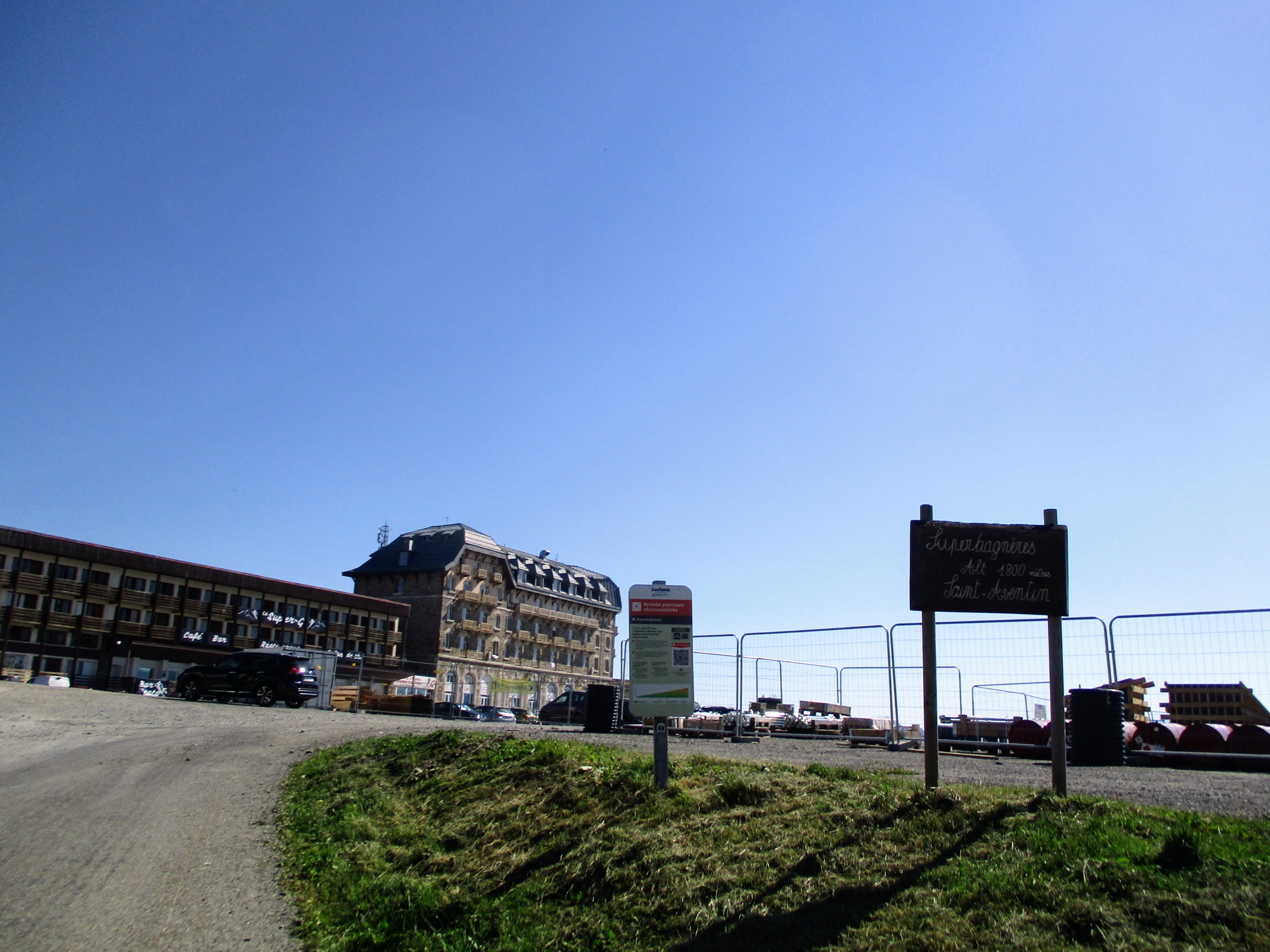 SUPERBAGNÈRES
- Distance
- 17.7 km
- Ascent
- 1,397 m
- Descent
- 236 m
- Location
- Bagnères-de-Luchon, Occitanie, France
 La Route des Cols - Etapa 6 - Cierp-Gaud - Aulus - Les - Bains
- Distance
- 80 km
- Ascent
- 2,170 m
- Descent
- 2,158 m
- Location
- Bagnères-de-Luchon, Occitanie, France
 2010-08-22.bis24.-hospice de france (luchon) - heas
- Distance
- 161.3 km
- Ascent
- 3,028 m
- Descent
- 2,928 m
- Location
- Bagnères-de-Luchon, Occitanie, France
 Pirinei-05
- Distance
- 98 km
- Ascent
- 2,812 m
- Descent
- 2,943 m
- Location
- Bagnères-de-Luchon, Occitanie, France
 Pirinei-05a
- Distance
- 107.3 km
- Ascent
- 1,968 m
- Descent
- 1,917 m
- Location
- Bagnères-de-Luchon, Occitanie, France
 2010.07.20. Garin -. Col de Peyresourde (TD France visit) - Col d'Azet - COl de POrtet to 1720 m - Pla d'Adet - Arreau - Col d'ASpin - St. M Campan
- Distance
- 106.8 km
- Ascent
- 2,717 m
- Descent
- 2,951 m
- Location
- Bagnères-de-Luchon, Occitanie, France
Open it in the app