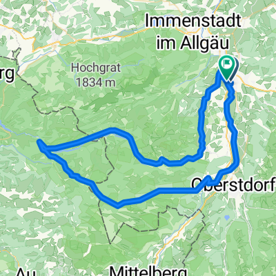
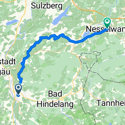
MOTORRAD Tourentipp - Oberallgäu Tour 2 Neuschwanstein
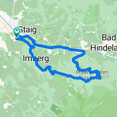
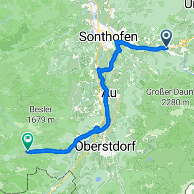
A cycling route starting in Sonthofen, Bavaria, Germany.
Overview
About this route
Von 87527 Sonthofen, Bayern, DeutschlandNach 87527 Sonthofen, Bayern, DeutschlandRouting Motorrad - am schnellsten
- -:--
- Duration
- 159.5 km
- Distance
- 2,343 m
- Ascent
- 2,343 m
- Descent
- ---
- Avg. speed
- 1,181 m
- Avg. speed
Route quality
Waytypes & surfaces along the route
Waytypes
Busy road
58.8 km
(37 %)
Road
55.9 km
(35 %)
Surfaces
Paved
133.9 km
(84 %)
Unpaved
2.6 km
(2 %)
Asphalt
132.1 km
(83 %)
Loose gravel
1.4 km
(<1 %)
Continue with Bikemap
Use, edit, or download this cycling route
You would like to ride MOTORRAD Tourentipp - Oberallgäu Tour 2 Neuschwanstein or customize it for your own trip? Here is what you can do with this Bikemap route:
Free features
- Save this route as favorite or in collections
- Copy & plan your own version of this route
- Sync your route with Garmin or Wahoo
Premium features
Free trial for 3 days, or one-time payment. More about Bikemap Premium.
- Navigate this route on iOS & Android
- Export a GPX / KML file of this route
- Create your custom printout (try it for free)
- Download this route for offline navigation
Discover more Premium features.
Get Bikemap PremiumFrom our community
Other popular routes starting in Sonthofen
- Sonthofen-Oberstdorf
- Distance
- 32 km
- Ascent
- 76 m
- Descent
- 76 m
- Location
- Sonthofen, Bavaria, Germany
- Sonthofer und Altstädter Hof
- Distance
- 21.6 km
- Ascent
- 698 m
- Descent
- 696 m
- Location
- Sonthofen, Bavaria, Germany
- Wertach Runde
- Distance
- 44.6 km
- Ascent
- 561 m
- Descent
- 562 m
- Location
- Sonthofen, Bavaria, Germany
- Allgäu-Oberjoch-Tannheimer Tal
- Distance
- 87.4 km
- Ascent
- 953 m
- Descent
- 953 m
- Location
- Sonthofen, Bavaria, Germany
- Sonthofen Schrofenpass Lechtal
- Distance
- 58.2 km
- Ascent
- 971 m
- Descent
- 650 m
- Location
- Sonthofen, Bavaria, Germany
- Dreiangelhütte
- Distance
- 25.4 km
- Ascent
- 722 m
- Descent
- 728 m
- Location
- Sonthofen, Bavaria, Germany
- RSCH Alpentraum 2014
- Distance
- 221.1 km
- Ascent
- 3,888 m
- Descent
- 2,789 m
- Location
- Sonthofen, Bavaria, Germany
- einfache Talrunde (mit Altst.-Hof)
- Distance
- 33.7 km
- Ascent
- 824 m
- Descent
- 821 m
- Location
- Sonthofen, Bavaria, Germany
Open it in the app